Near Strong City in Chase County, Kansas — The American Midwest (Upper Plains)
Chase County & The Bluestem Pasture Region of Kansas
Photographed by Richard Hawkins, August 13, 2025
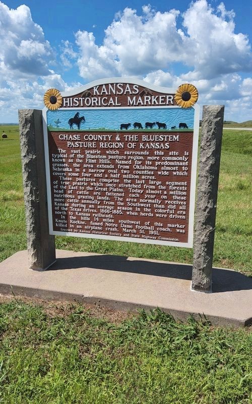
1. Chase County & The Bluestem Pasture Region Marker
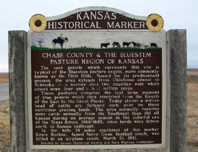
The vast prairie which surrounds this site is typical of the Bluestem pasture region more commonly known as the Flint Hills. Named for its predominant grasses, the area extends from Oklahoma almost to Nebraska in a narrow oval two counties wide which covers some four and a half million acres.
These pastures comprise the last large segment of true prairie which once stretched from the forests of the East to the Great Plains. Today almost a million head of cattle are fattened each year on these nutritious grazing lands. The area normally receives more cattle annually from the Southwest than did all Kansas during an average season in the colorful era of the Texas drives, 1866-1885, when herds were driven north to Kansas railheads.
In the hills 14 miles southwest of this marker Knute Rockne, famed Notre Dame football coach, was killed in an airplane crash, March 31, 1931.
Erected by Kansas Historical Society and State Highway Commission. (Marker Number 22.)
Topics and series. This historical marker is listed in this topic list: Natural Features. In addition, it is included in the Kansas Historical Society series
this page online
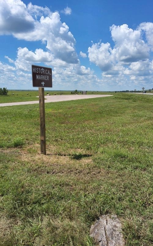
Location. 38° 24.067′ N, 96° 30.159′ W. Marker is near Strong City, Kansas, in Chase County. It is on U.S. 50, on the right when traveling east. Marker is on a road pullout about two miles east of Strong City. Touch for map. Marker is in this post office area: Strong City KS 66869, United States of America. Touch for directions.

Regionally, this marker is in the Flint Hills. It is also in the American Midwest, in the Corn Belt, on the prairies, and on the Southern Plains. Globally, it is in North America, the Western Hemisphere, the Western World, and the Anglosphere. Historically, it finds itself in what was once the Louisiana Purchase.
Other nearby markers. At least 8 other markers are within 3 miles of this marker, measured as the crow flies: Strong City (approx. 2 miles away); W.B. Strong Memorial Railroad Park (approx. 2 miles away); Cottonwood River Bridges at Cottonwood Falls (approx. 2.7 miles away); Cottonwood River Dam (approx. 2.7 miles away); Bates Grove and the Area Adjacent to the Cottonwood River Dam (approx. 2.7 miles away); Chase County and the City of Cottonwood Falls
Photographed by Richard Hawkins, August 13, 2025
2. Chase County & The Bluestem Pasture Region Marker
Also see . . . Tallgrass Prairie National Preserve. (Submitted on June 9, 2011, by William Fischer, Jr. of Reynoldsburg, Ohio.)
Photographed by William Fischer, Jr., February 19, 2011
3. Chase County & The Bluestem Pasture Region Marker

Photographed by William Fischer, Jr., February 19, 2011
4. Chase County & The Bluestem Pasture Region Marker
Photographed by William Fischer, Jr., February 19, 2011
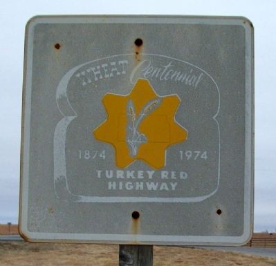
5. Turkey Red Wheat Centennial Sign
Next to the Bluestem Pasture Region marker (2011).

Public Domain
6. Knute Rockne Crash Site Memorial
Credits. This page was last revised on October 19, 2026. It was originally submitted on June 9, 2011, by William Fischer, Jr. of Reynoldsburg, Ohio. This page has been viewed 1,287 times since then and 106 times this year. Photos: 1, 2. submitted on August 13, 2025, by Richard Hawkins of Phelan, California. 3, 4, 5. submitted on June 9, 2011, by William Fischer, Jr. of Reynoldsburg, Ohio. 6. submitted on October 18, 2026, by Craig Baker of Sylmar, California.
