Cooperstown in Otsego County, New York — The American Northeast (Mid-Atlantic)
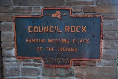
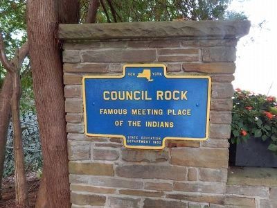
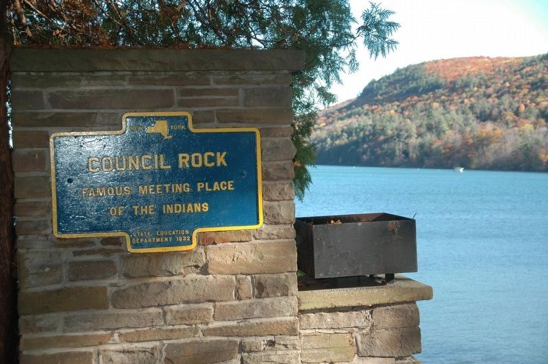
Council Rock
Erected 1932 by New York State Education Department.
Topics. This historical marker is listed in these topic lists: Landmarks • Native Americans.
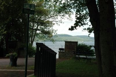
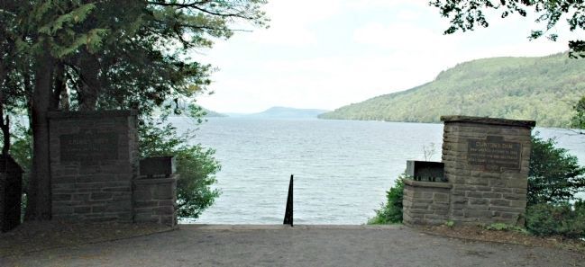
Location. 42° 42.073′ N, 74° 55.235′ W. Marker is in Cooperstown, New York, in Otsego County. Marker is on River Street near Lake Street, on the right when traveling north. Marker is set on a masonry pier at the top of a flight of steps which descend to the edge of Otsego Lake in Council Rock Park. Touch for map. Marker is in this post office area: Cooperstown NY 13326, United States of America. Touch for directions.
Other nearby markers. At least 8 other markers are within walking distance of this marker. Clinton's Dam (a few steps from this marker); General Clinton's Dam (about 300 feet away, measured in a direct line); Pomeroy Place (about 600 feet away); George Croghan (about 700 feet away); Fair Street (about 700 feet away); Site of the First National Baseball Hall of Fame Induction (about 800 feet away); Hoffman Lane (approx. 0.2 miles away); Otsego Hall (approx. 0.2 miles away). Touch for a list and map of all markers in Cooperstown.
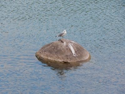
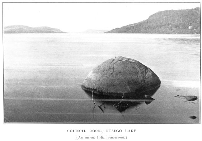
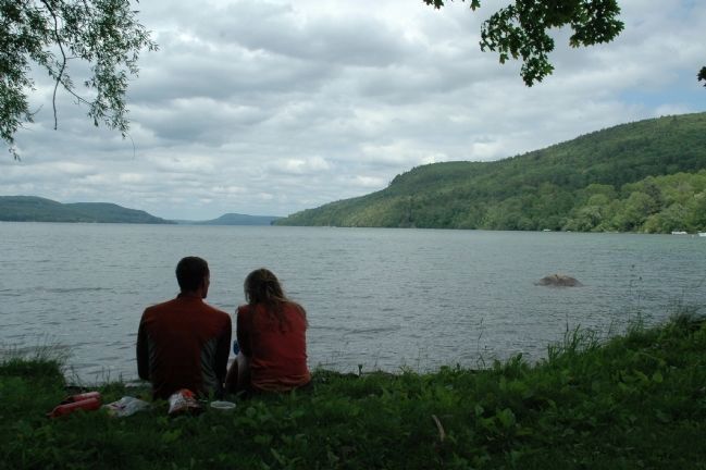
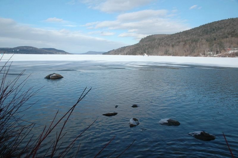
Regarding Council Rock. Council Rock is a glacial deposit that rises just above the surface of Otsego Lake at the headwaters of the Susquehanna river. From here the Susquehanna flows over 400 miles through New York, Pennsylvania, and Maryland before meeting the Chesapeake Bay. In the earlier days of the nineteenth century the landmark was called Otsego Rock until about 1870, when many areas around the lake were given names inspired by James Fenimore Cooper's Leatherstocking Tales.
In 1937 a short flight of stairs and a landing at the edge of the lake was built by the Cooperstown Lake and Valley Garden Club. Twenty years after that a piece of land was given by Paul F. Cooper, grandson of James Fenimore Cooper, to form Council Rock Park.
Additional keywords. Otsego, Cooperstown History
Credits. This page was last revised on February 13, 2023. It was originally submitted on June 12, 2011, by Howard C. Ohlhous of Duanesburg, New York. This page has been viewed 3,759 times since then and 217 times this year. Photos: 1, 2. submitted on June 12, 2011, by Howard C. Ohlhous of Duanesburg, New York. 3. submitted on September 20, 2015, by Scott J. Payne of Deposit, New York. 4. submitted on September 23, 2015, by Scott J. Payne of Deposit, New York. 5. submitted on October 28, 2016, by Howard C. Ohlhous of Duanesburg, New York. 6, 7, 8, 9. submitted on June 12, 2011, by Howard C. Ohlhous of Duanesburg, New York. 10. submitted on February 4, 2018, by Howard C. Ohlhous of Duanesburg, New York. • Bill Pfingsten was the editor who published this page.
