Marker Logo HMdb.org THE HISTORICAL
MARKER DATABASE
“Bite-Size Bits of Local, National, and Global History”
East Falls Church in Arlington in Arlington County, Virginia — The American South (Mid-Atlantic)
 

Crossman House


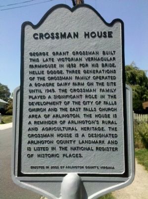
Crossman House Marker image. Click for full size.
Photographed By Stephen Santelli, August 30, 2010
1. Crossman House Marker
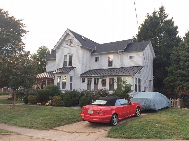
Inscription. George Grant Crossman built this late Victorian vernacular farmhouse in 1892 for his bride Nellie Dodge. Three generations of the Crossman family operated a 60-acre dairy farm on the site until 1949. The Crossman family played a significant role in the development of the City of Falls Church and the East Falls Church area of Arlington. The house is a reminder of Arlington's rural and agricultural heritage. The Crossman House is a designated Arlington County Landmark and is listed in the National Register of Historic Places.
 
Erected 2003 by Arlington County, Virginia.
 
Topics. This historical marker is listed in this topic list: Agriculture. A significant historical year for this entry is 1892.
 
Location. 38° 53.526′ N, 77° 9.664′ W. Marker is in Arlington, Virginia, in Arlington County. It is in East Falls Church. Marker is at the intersection of North Underwood Street and 25th Street N, on the left when traveling south on North Underwood Street. Touch for map. Marker is at or near this postal address: 2501 N Underwood St, Arlington VA 22213, United States of America. Touch for directions.
 
Other nearby markers. At least 8 other markers are within walking distance of this marker. East Falls Church Station (approx. 0.3 miles away); East Falls Church (approx. 0.4 miles away); Presidential Visit to Falls Church, 1911 (approx. half a mile away); Pearson's Funeral Home
Paid Advertisement
Click on the ad for more information.
Please report objectionable advertising to the Editor.
Click or scan to see
this page online
(approx. half a mile away); Original Federal Boundary Stone, District of Columbia, West Cornerstone (approx. 0.6 miles away); DePutron House (approx. 0.6 miles away); Benjamin Banneker Park Playground (approx. 0.6 miles away); Original Federal Boundary Stone, District of Columbia, Southwest 9 (approx. 0.6 miles away). Touch for a list and map of all markers in Arlington.
 
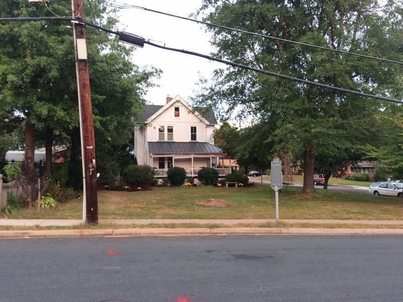
Crossman House Marker image. Click for full size.
Photographed By J. Makali Bruton, October 5, 2017
2. Crossman House Marker
This view is looking towards the east across North Underwood Street.
Crossman House image. Click for full size.
Photographed By J. Makali Bruton, October 5, 2017
3. Crossman House
This view of the house is towards the north.
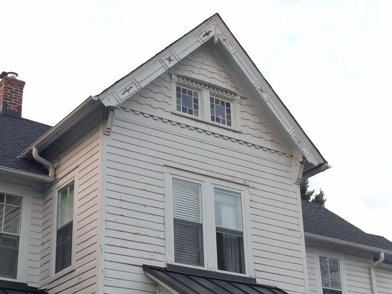
Crossman House details image. Click for full size.
Photographed By J. Makali Bruton, October 5, 2017
4. Crossman House details
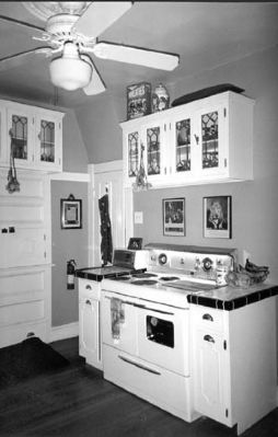
George Crossman House, interior image. Click for full size.
National Register of Historic Places
5. George Crossman House, interior
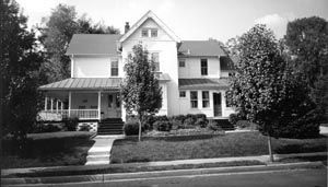
George Crossman House, Arlington County image. Click for full size.
National Register of Historic Places
6. George Crossman House, Arlington County
 
 
Credits. This page was last revised on February 1, 2023. It was originally submitted on June 19, 2011, by Stephen Santelli of Morgantown, West Virginia. This page has been viewed 1,461 times since then and 29 times this year. Photos:   1. submitted on June 19, 2011, by Stephen Santelli of Morgantown, West Virginia.   2, 3, 4. submitted on October 5, 2017, by J. Makali Bruton of Accra, Ghana.   5, 6. submitted on June 23, 2011, by Bernard Fisher of Richmond, Virginia. • Bernard Fisher was the editor who published this page.
Share this page.  
Share on Tumblr
m=43540

CeraNet Cloud Computing sponsors the Historical Marker Database.
This website earns income from purchases you make after using our links to Amazon.com. We appreciate your support.
Paid Advertisement
Apr. 24, 2024