Marker Logo HMdb.org THE HISTORICAL
MARKER DATABASE
“Bite-Size Bits of Local, National, and Global History”
Downtown in Pittsburgh in Allegheny County, Pennsylvania — The American Northeast (Mid-Atlantic)
 

Fort Duquesne


Fort Duquesne (site) Marker image. Click for full size.
Photographed By Mike Wintermantel, June 20, 2011
1. Fort Duquesne (site) Marker
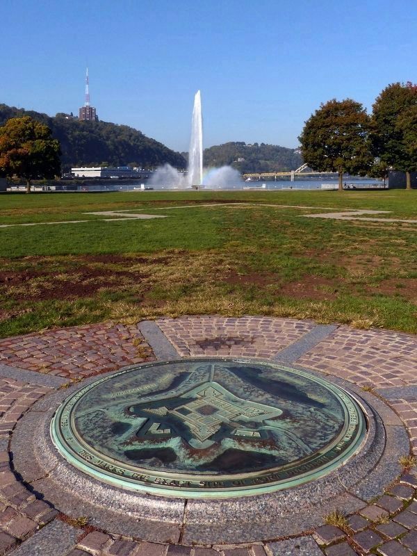
Inscription. This marks the exact site of Fort Duquesne, built by the French in 1754

The Fort was destroyed by the French on the approach of the English Army in 1758
 
Topics. This historical marker is listed in these topic lists: Forts and CastlesWar, French and Indian. A significant historical year for this entry is 1754.
 
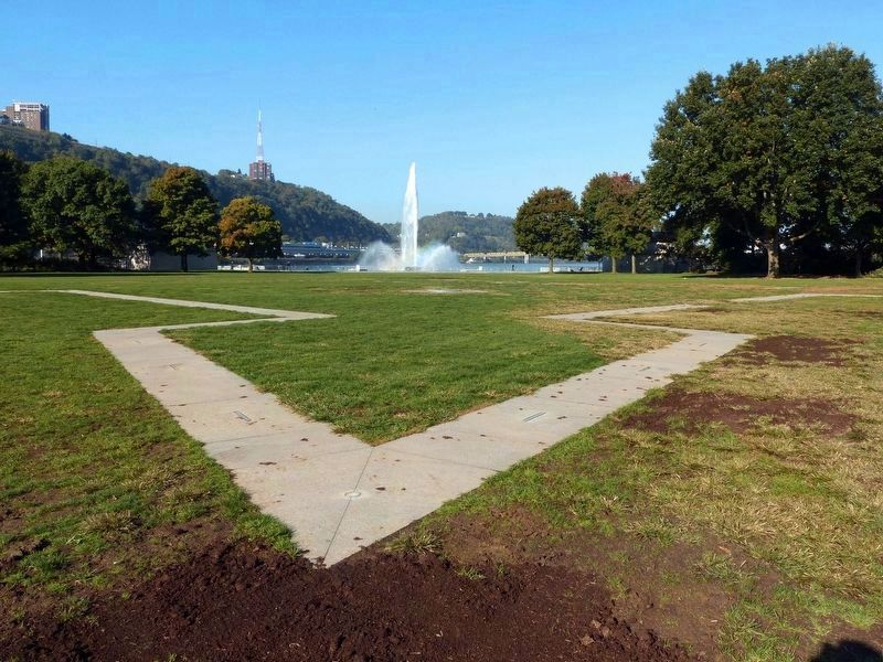
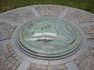
Location. 40° 26.497′ N, 80° 0.656′ W. Marker is in Pittsburgh, Pennsylvania, in Allegheny County. It is in Downtown. Marker can be reached from Three Rivers Heritage Trail. Located in Point State Park, the outline of the fort can be seen marked in the ground, with the plaque in the center. Touch for map. Marker is in this post office area: Pittsburgh PA 15222, United States of America. Touch for directions.
 
Other nearby markers. At least 8 other markers are within walking distance of this marker. Pittsburgh Peace Tree (within shouting distance of this marker); Mayapple (about 300 feet away, measured in a direct line); White Snakeroot (about 300 feet away); The Venango Path (about 300 feet away); False Solomon's Seal (about 300 feet away); American Witch Hazel (about 300 feet away); The Forks of the Ohio (about 300 feet away); David L. Lawrence (about 300 feet away). Touch for a list and map of all markers in Pittsburgh.

 
Paid Advertisement
Click on the ad for more information.
Please report objectionable advertising to the Editor.
Click or scan to see
this page online
Fort Duquesne (site) Marker image. Click for full size.
Photographed By Mike Wintermantel, June 20, 2011
2. Fort Duquesne (site) Marker
Fort Duquesne Marker image. Click for full size.
Photographed By Allen C. Browne, October 15, 2016
3. Fort Duquesne Marker
The fountain markes the confluence of the Monongahela and the Allegheny Rivers.
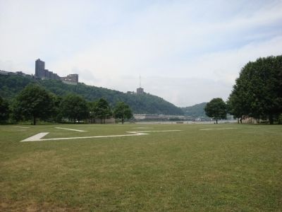
The Outline of Fort Duquesne image. Click for full size.
Photographed By Allen C. Browne, October 15, 2016
4. The Outline of Fort Duquesne
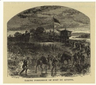
Fort Duquesne image. Click for full size.
Photographed By Alfred Waud (artist)
5. Fort Duquesne
Source: The New York Public Library
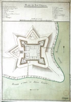
Fort Duquesne Plan Map image. Click for full size.
Photographed By Unknown
6. Fort Duquesne Plan Map
Map of Fort Duquesne image. Click for full size.
Photographed By Allen C. Browne, October 15, 2016
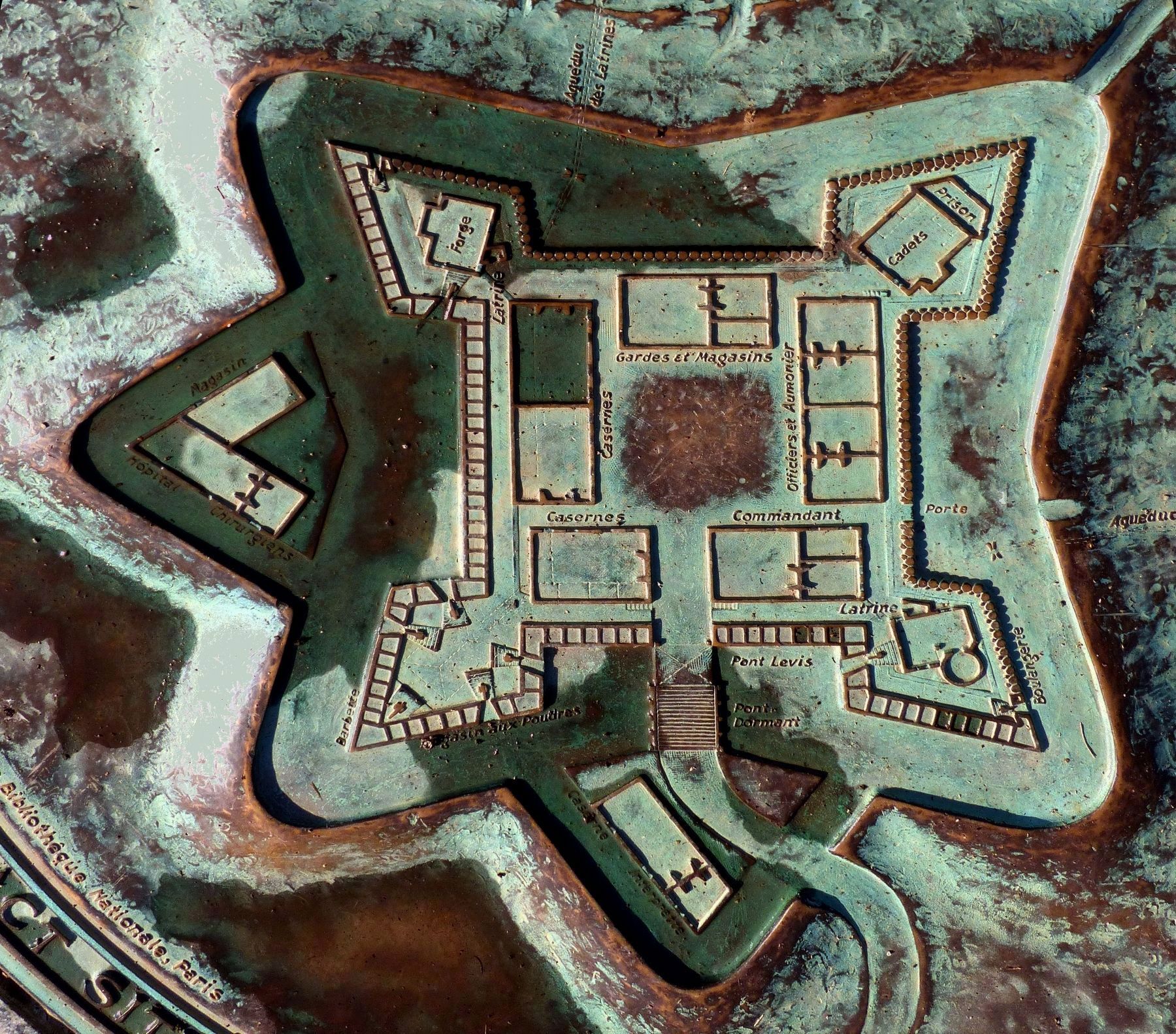
7. Map of Fort Duquesne
From the contemporary military drawing in the Biblioteque Nationale, Paris.
Close-up of image on marker
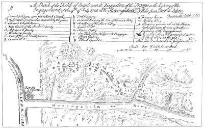
Fort Duquesne Battle Plan image. Click for full size.
Photographed By Unknown
8. Fort Duquesne Battle Plan
 
 
Credits. This page was last revised on February 2, 2023. It was originally submitted on June 20, 2011, by Mike Wintermantel of Pittsburgh, Pennsylvania. This page has been viewed 1,393 times since then and 36 times this year. Photos:   1, 2. submitted on June 20, 2011, by Mike Wintermantel of Pittsburgh, Pennsylvania.   3, 4. submitted on December 17, 2016, by Allen C. Browne of Silver Spring, Maryland.   5, 6. submitted on June 20, 2011, by Mike Wintermantel of Pittsburgh, Pennsylvania.   7. submitted on December 17, 2016, by Allen C. Browne of Silver Spring, Maryland.   8. submitted on June 20, 2011, by Mike Wintermantel of Pittsburgh, Pennsylvania. • Bill Pfingsten was the editor who published this page.
Share this page.  
Share on Tumblr
m=43572

CeraNet Cloud Computing sponsors the Historical Marker Database.
This website earns income from purchases you make after using our links to Amazon.com. We appreciate your support.
Paid Advertisement
Apr. 19, 2024