Cumberland Township near Gettysburg in Adams County, Pennsylvania — The American Northeast (Mid-Atlantic)
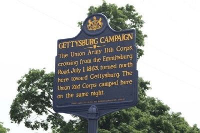
Gettysburg Campaign
Erected 2008 by Pennsylvania Historical And Museum Commission.
Topics and series. This historical marker is listed in this topic list: War, US Civil. In addition, it is included in the Gettysburg Campaign, and the Pennsylvania Historical and Museum Commission series lists. A significant historical month for this entry is July 1636.
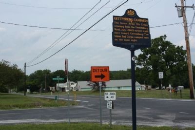
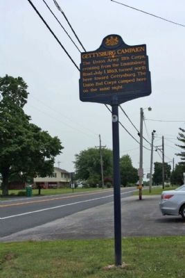
Location. 39° 45.736′ N, 77° 13.941′ W. Marker is near Gettysburg, Pennsylvania, in Adams County. It is in Cumberland Township. Marker is at the intersection of Barlow Greenmount Road (County Road 1002) and Taneytown Road (State Route 134), on the right on Barlow Greenmount Road. Located at the Barlow Fire Department. Touch for map. Marker is in this post office area: Gettysburg PA 17325, United States of America. Touch for directions.
Other nearby markers. At least 8 other markers are within 2 miles of this marker, measured as the crow flies. Barlow and General Eisenhower (a few steps from this marker); Barlow Creamery (approx. 0.3 miles away); 5th Wisconsin Volunteers (approx. 1˝ miles away); 49th Pennsylvania Infantry (approx. 1˝ miles away); Third Brigade (approx. 1˝ miles away); 6th Maine Infantry (approx. 1˝ miles away); Battery C, First New York Light Artillery (approx. 1˝ miles away); 119th Pennsylvania Infantry (approx. 1˝ miles away). Touch for a list and map of all markers in Gettysburg.
Credits. This page was last revised on February 7, 2023. It was originally submitted on June 21, 2011, by Mike Stroud of Bluffton, South Carolina. This page has been viewed 1,887 times since then and 28 times this year. Photos: 1, 2, 3. submitted on June 30, 2011, by Mike Stroud of Bluffton, South Carolina.


