Blowing Rock in Watauga County, North Carolina — The American South (South Atlantic)
The Blowing Rock
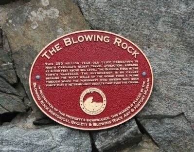
Photographed by Mike Stroud, 2011
1. Blowing Rock Marker
Erected by The Town of Blowing Rock, and Blowing Rock Historical Museum.
Topics. This historical marker is listed in this topic list: Natural Features.
Location. 36° 7.031′ N, 81° 39.775′ W. Marker is in Blowing Rock, North Carolina, in Watauga County. It can be reached from Cliff Lane, on the right. Located south of the town of Blowing Rock off of US 321, at the Visitor Center. Touch for map. Marker is in this post office area: Blowing Rock NC 28605, United States of America. Touch for directions.

Regionally, this marker is in North Carolina’s and he Mountains in the High Country. It is also in the American South, specifically in the Upper South, in Appalachia, and specifically in Southern Appalachia.
this page online
Other nearby markers. At least 8 other markers are within walking distance of this marker: Green Park Hotel (approx. 0.2 miles away); Green Park Inn (approx. 0.2 miles away); Green Park-Norwood Golf Course (approx. 0.3 miles away); Church of the Epiphany (approx. 0.4 miles away); Emily Prudden (approx. 0.6 miles away); Mt. Bethel Reformed Church (approx. 0.9 miles away); Maymont (approx. 0.9 miles away); Sunset Manor (approx. 0.9 miles away). Touch for a list and map of all markers in Blowing Rock.
Another marker is no longer nearby. Stoneman's Raid (was approx. 0.3 miles away but has been replaced with another marker now near it).
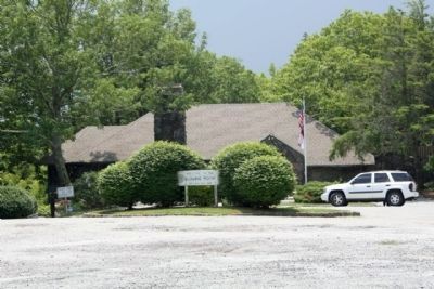
Photographed by Mike Stroud, June 12, 2011
2. Blowing Rock Marker just left of the flagpole and Visitor Center
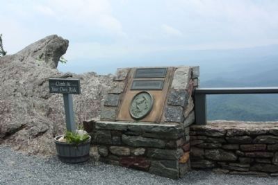
Photographed by Mike Stroud, June 12, 2011
3. Blowing Rock and legend
Coordinates: 36.117216 -81.661838
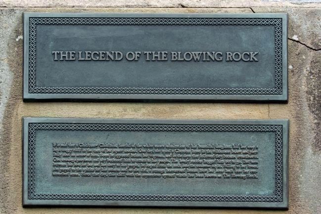
Photographed by Mike Stroud, 2011
4. The Legend Of Blowing Rock
It is said that a Chickasaw chieftan, fearful of a white man’s admiration for his beautiful daughter, hid her atop a high craggy cliff the care of a squaw mother. One day she spied a Cherokee brave in the wilderness below and playfully shot an arrow at him. Soon he appeared before her wigwam,and in the days that followed the became sweethearts. One evening a prophetic red sky beckoned him to return to his people. The lonely maiden begged him not to go.. But torn between his love for her and his duty to his people, he leaped from the rock into the ominous night. Falling to her knees, she prayed to the spirits for his return; and as she did, a strange heavenward breeze blew her lover back into her outstretched arms. Since that day, this cliff with the mysterious upward wind has been known as The Blowing Rock.
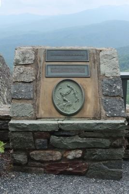
Photographed by Mike Stroud, June 12, 2011
5. The Legend Of The Blowing Rock Marker
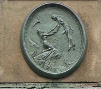
Photographed by Mike Stroud, June 12, 2011
6. The Legend Of The Blowing Rock
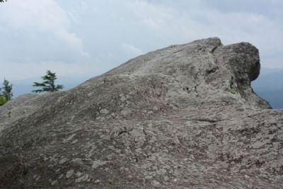
Photographed by Mike Stroud, June 12, 2011
7. Blowing Rock
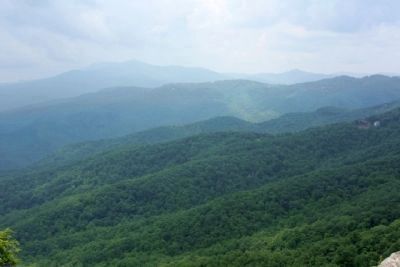
Photographed by Mike Stroud, June 12, 2011
8. Blowing Rock view across the chasm, rain in the distance
Credits. This page was last revised on November 17, 2022. It was originally submitted on June 23, 2011, by Mike Stroud of Bluffton, South Carolina. This page has been viewed 946 times since then and 18 times this year. Photos: 1, 2, 3, 4, 5, 6, 7, 8. submitted on June 23, 2011, by Mike Stroud of Bluffton, South Carolina.
