Fond du Lac in Duluth in Saint Louis County, Minnesota — The American Midwest (Upper Plains)
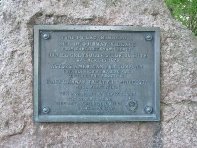
Fond du Lac – Minnesota
Photographed by Keith L, June 11, 2011
1. Fond du Lac – Minnesota Marker
from earliest known period
Daniel Greysolon, Sieur du Luth
was here in 1679
Astor's American Fur Company
established a trading post
on this spot about 1817
First Ojibway Treaty in Minnesota
made here in 1826
This monument was erected by
The Daughters of
the American Revolution
Duluth, Minnesota
September 21, 1922
[DAR insignia]
Erected 1922 by The Daughters of the American Revolution.
Topics and series. This historical marker is listed in these topic lists: Exploration • Indigenous Peoples and Communities • Industry & Commerce. In addition, it is included in the Daughters of the American Revolution (DAR) series list. A significant historical month for this entry is September 1812.
Location. 46° 39.573′ N, 92° 16.677′ W. Marker is in Duluth, Minnesota, in Saint Louis County. It is in Fond du Lac. It is on 133rd Avenue West south of West 2nd Street, on the right when traveling south. Marker is at a small historical park by the Saint Louis River. Touch for map. Marker is in this post office area: Duluth MN 55808, United States of America. Touch for directions.

Regionally, this marker
this page online
Other nearby markers. At least 8 other markers are within 6 miles of this marker, measured as the crow flies: Fond du Lac (approx. ¼ mile away); Geology of the St. Louis River (approx. 2.3 miles away); Evergreen Memorial Drive (approx. 2.3 miles away); Josiah B. Scovell (approx. 3½ miles away); Henry C. Hornby (approx. 3½ miles away); Geology of Minnesota (approx. 3½ miles away); Minnesota’s Seaport / Welcome to Minnesota (approx. 5.9 miles away); Geology of Duluth Harbor (approx. 5.9 miles away).
Photographed by Keith L, June 11, 2011
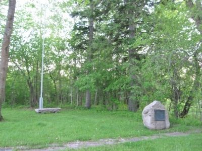
2. Fond du Lac – Minnesota Marker
Photographed by Keith L, June 11, 2011
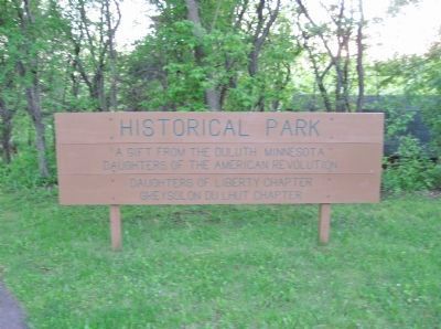
3. Sign at Park
A gift from the Duluth Minnesota
Daughters of the American Revolution
Daughters of Liberty Chapter
Greysolon du Lhut Chapter
Photographed by Keith L, June 11, 2011
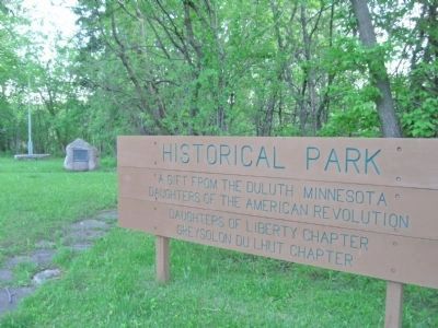
4. Historical Park
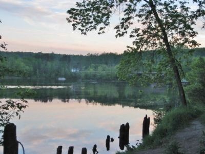
Photographed by Keith L, June 11, 2011
5. Upriver from Park
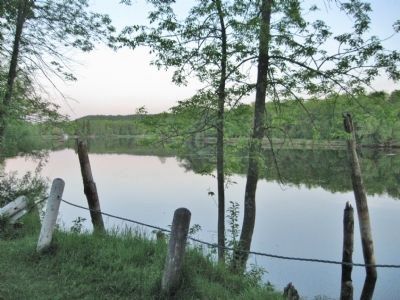
Photographed by Keith L, June 11, 2011
6. Downriver from Park
Credits. This page was last revised on February 12, 2023. It was originally submitted on June 24, 2011, by Keith L of Wisconsin Rapids, Wisconsin. This page has been viewed 1,568 times since then and 67 times this year. Photos: 1, 2, 3, 4, 5, 6. submitted on June 24, 2011, by Keith L of Wisconsin Rapids, Wisconsin.
