Talala in Rogers County, Oklahoma — The American South (West South Central)
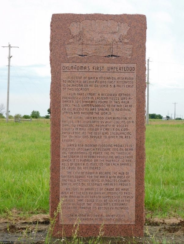
Oklahoma's First Waterflood
Photographed by Jimmy Emerson, May 2024
1. Oklahoma's First Waterflood Marker
Injection of water into an oil reservoir to increase recovery was first attempted in Oklahoma on an oil lease 5.8 miles east of this location.
From that effort, a recovery method previously used in eastern fields was adapted to conditions found in this area. Since then, waterflooding to obtain greater oil recovery has spread to adjoining states and around the world.
The initial waterflood, experimental in nature, was developed by Bert Collins on a shallow producing property in Rogers County in May 1931 on a Carter Oil Company lease. As the test was encouraging, the method was applied to other oil reservoirs.
Water for modern flooding projects is injected under high pressure into oil-bearing formations to force oil through the strata to nearby producing wells from which it is pumped. On the average, 10 barrels of water is injected for each barrel of crude oil recovered.
The city of Nowata became the hub of waterflooding for the area with most of the field activity being in Rogers County where vast oil reserves had been proven.
Billions of barrels of crude oil have been recovered by waterflooding to provide man
this page online
Erected 1973 by Oklahoma Historical Society with Oklahoma Petroleum Council.
Topics and series. This historical marker is listed in these topic lists: Disasters • Industry & Commerce • Waterways & Vessels. In addition, it is included in the Oklahoma Historical Society series list. A significant historical month for this entry is May 1931.
Location. 36° 34.95′ N, 95° 40.214′ W. Marker is in Talala, Oklahoma, in Rogers County. It is at the intersection of U.S. 169 and County Road 300, on the left when traveling north on U.S. 169. Highway 169 is currently undergoing a widening project in this area. The current location, as of the time of this submission, is between the current 2 lane highway and the construction of the new southbound lanes to the west. If left in place it will be in the center median. The marker will likely be moved to a new location as the widening project progresses. Touch for map. Marker is in this post office area: Talala OK 74080, United States of America.
Photographed by Eric Hanson, June 26, 2011
2. Oklahoma's First Waterflood Marker

Regionally, this marker is in the Cherokee Nation, in Northeast Oklahoma—Green Country, and in Greater Tulsa. It is also in the American South, specifically in the Ozarks, on the prairies, and on the Southern Plains. Globally, it is in North America, the Western Hemisphere, the Western World, and the Anglosphere. Historically, it finds itself in what was once the territory of the Mississippian Culture and also the Louisiana Purchase.
Other nearby markers. At least 8 other markers are within 10 miles of this marker, measured as the crow flies: Will Rogers Airport (approx. 7.9 miles away); Daugherty Pathway (approx. 8 miles away); Clement Vann Rogers (approx. 8 miles away); Veterans Memorial (approx. 9.6 miles away); Mart Reed General Store Building (approx. 9.6 miles away); Oolagah's First Public Tribute to Will Rogers (approx. 9.6 miles away); The Cherokee Kid (approx. 9.6 miles away); Will Rogers Birthplace (approx. 9.6 miles away).
Photographed by Eric Hanson, June 26, 2011
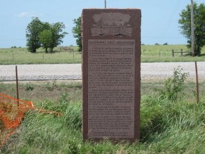
3. Oklahoma's First Waterflood Marker
Looking west.
Photographed by Eric Hanson, June 26, 2011
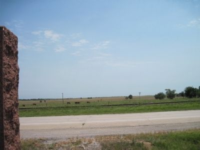
4. Oklahoma's First Waterflood Marker
Looking east. Marker along left side.
Credits. This page was last revised on May 4, 2026. It was originally submitted on June 26, 2011, by Eric Hanson of Verdigris, Oklahoma. This page has been viewed 1,146 times since then and 57 times this year. Photos: 1. submitted on May 2, 2026, by Jimmy Emerson of Dalton, Georgia. 2, 3, 4. submitted on June 26, 2011, by Eric Hanson of Verdigris, Oklahoma. • Bill Pfingsten was the editor who published this page.
