Deadman's Island
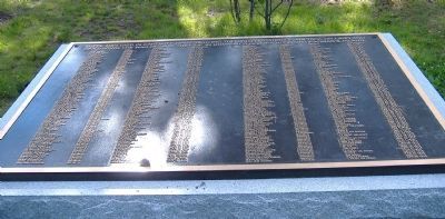
Followed by a list of 188 men identified by Name, Rank, Ship/Unit, and Date of Death.
Erected 2005.
Topics. This historical marker is listed in these topic lists: Cemeteries & Burial Sites • War of 1812. A significant historical year for this entry is 1812.
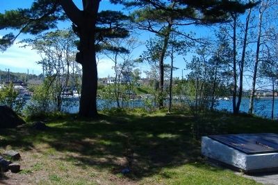
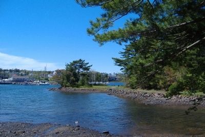
Location. 44° 38.091′ N, 63° 36.667′ W. Marker is in Halifax, Nova Scotia, in Halifax Region. Marker can be reached from Pinehaven Drive, 0.1 kilometers east of Purcell's Cove Road, on the right when traveling west. Deadman's Island Civic Park is marked by a sign on Pinehaven Drive at the trailhead. where there is 2-hour street parking for three or four cars. Deadman's Island is actually a peninsula of about 2.5 acres and is reached by a sloping trail. Touch for map. Marker is at or near this postal address: 24 Pinehaven Drive, Halifax NS B3P 1B3, Canada. Touch for directions.
Other nearby markers. At least 8 other markers are within 3 kilometers of this marker, measured as the crow flies. William Henry Chase (approx. 1.4 kilometers away); Halifax and Castine / Halifax et Castine (approx. 1.5 kilometers away); John William Ritchie (approx. 1.9 kilometers away); Summer House / Pavillon d'été
Regarding Deadman's Island. Almost 10,000 American seamen and soldiers who had been captured from ships or on shore by the British during the War of 1812 were held prisoner on nearby Melville Island. Approximately 195 men died and were buried in unmarked graves here. Deadman's Island was originally called Target Island when it was used for artillery practice.
Credits. This page was last revised on January 10, 2021. It was originally submitted on July 3, 2011, by David Graff of Halifax, Nova Scotia. This page has been viewed 1,515 times since then and 43 times this year. Photos: 1, 2, 3. submitted on July 3, 2011, by David Graff of Halifax, Nova Scotia. • Bill Pfingsten was the editor who published this page.


