Stockbridge in Henry County, Georgia — The American South (South Atlantic)
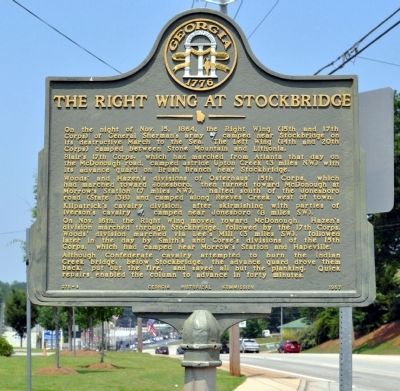
The Right Wing at Stockbridge
Blair’s 17th Corps, which had marched from Atlanta that day on the McDonough road, camped astride Upton Creek (3 miles NW) with its advance guard on Brush Branch near Stockbridge.
Woods’ and Hazen’s divisions of Osterhaus’ 15th Corps, which had marched toward Jonesboro, then turned toward McDonough at Morrow’s station (7 miles NW), halted south of the Jonesboro road (State 138) and camped along Reeves Creek west of town.
Kilpatrick’s cavalry division, after skirmishing with parties of Iverson’s cavalry [CS], camped near Jonesboro (8 miles SW).
On Nov. 16th, the Right Wing moved toward McDonough. Hazen’s division marched through Stockbridge, followed by the 17th Corps. Woods’ division marched via Lee’s Mill (3 miles SW), followed later in the day by Smith’s and Corse's divisions of the 15th Corps, which had camped near Morrow’s Station and Hapeville.
Although Confederate Cavalry attempted to burn the Indian Creek bridge, below Stockbridge, the advance guard drove them back, put out the fire, and saved all but the planking. Quick repairs enabled the columns to advance in forty minutes.
Erected 1957 by Georgia Historical Commission. (Marker Number 075-4.)
Topics and series. This historical marker is listed in this topic list: War, US Civil. In addition, it is included in the Georgia Historical Society, and the Sherman’s March to the Sea series lists. A significant historical date for this entry is October 15, 1860.
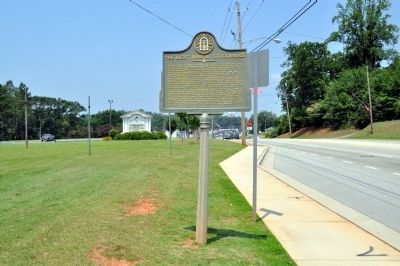
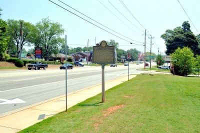
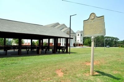
Location. 33° 32.654′ N, 84° 14.292′ W. Marker is in Stockbridge, Georgia, in Henry County. Marker is at the intersection of North Henry Boulevard (U.S. 23) and McCain Creek Trail, on the right when traveling east on North Henry Boulevard. The marker stands in front of the Stockbridge First United Methodist Church. Touch for map. Marker is at or near this postal address: 4863 North Henry Boulevard, Stockbridge GA 30281, United States of America. Touch for directions.
Other nearby markers. At least 8 other markers are within 7 miles of this marker, measured as the crow flies. The Orphan Brigade (approx. 0.2 miles away); Floyd Chapel Baptist Church (approx. ¼ mile away); March and Counter-march (approx. 3.7 miles away); Melvinia Shields (approx. 3.8 miles away); Old Stagecoach Road (approx. 5 miles away); Morrow, Georgia (approx. 6½ miles away); Kilpatrick's Raid (approx. 6.6 miles away); Battle of Jonesboro The Second Day (approx. 6.6 miles away). Touch for a list and map of all markers in Stockbridge.
Credits. This page was last revised on June 16, 2016. It was originally submitted on July 3, 2011, by David Seibert of Sandy Springs, Georgia. This page has been viewed 930 times since then and 18 times this year. Photos: 1, 2, 3, 4. submitted on July 3, 2011, by David Seibert of Sandy Springs, Georgia. • Craig Swain was the editor who published this page.


