Near Peshtigo in Marinette County, Wisconsin — The American Midwest (Great Lakes)
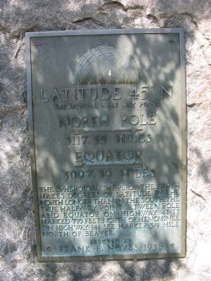
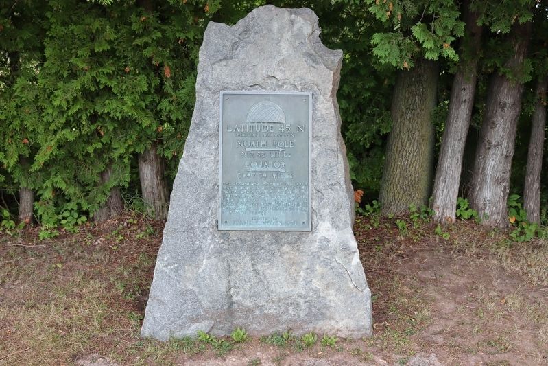
Latitude 45° N
Theoretical Half Way Point
North Pole [right arrow]
3117.55 miles
Equator [left arrow]
3097.39 miles
The spheroidal shape of the earth makes degrees of latitude in the north longer than in the south. The true half-way point between pole and equator on Highway 41 is marked 710 feet north of Menominee. On Highway 141 see marker 3/4 mile north of Beaver.
Erected by
Frank E. Noyes, 1938
Erected 1938 by Frank E. Noyes.
Topics. This historical marker is listed in these topic lists: Landmarks • Natural Features.
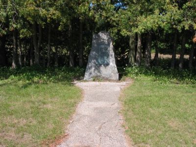
Location. 45° 0′ N, 87° 51.198′ W. Marker is near Peshtigo, Wisconsin, in Marinette County. Marker is on U.S. 41 north of Wilcox Lane, on the left when traveling north. Marker is at Wayside Park. Touch for map. Marker is in this post office area: Peshtigo WI 54157, United States of America. Touch for directions.
Other nearby markers. At least 8 other markers are within 8 miles of this marker, measured as the crow flies. Thomaston Fishing Settlement (approx. 3.7 miles away); Peshtigo Fire Cemetery (approx. 6.2 miles away); Peshtigo Fire (approx. 6.4 miles away); In Memoriam (approx. 6˝ miles away); George Beyer Home (approx. 7.4 miles away); Mission of St. Francois Xavier (approx. 7.6 miles away); Oconto County Veteran's Memorial (approx. 7.7 miles away); First Church of Christ, Scientist (approx. 7.7 miles away). Touch for a list and map of all markers in Peshtigo.
Regarding Latitude 45° N. Beaver is located 2 miles north of State Highway 64 on U.S. Highway 141. In the 1930s, Frank E. Noyes of Marinette, Wisconsin, editor of the Daily Eagle-Star, erected various historical plaques throughout the area.
Credits. This page was last revised on August 28, 2022. It was originally submitted on December 30, 2007, by Keith L of Wisconsin Rapids, Wisconsin. This page has been viewed 1,972 times since then and 41 times this year. Photos: 1. submitted on December 30, 2007, by Keith L of Wisconsin Rapids, Wisconsin. 2. submitted on August 20, 2022, by Trevor L Whited of Kokomo, Indiana. 3. submitted on December 30, 2007, by Keith L of Wisconsin Rapids, Wisconsin. • Craig Swain was the editor who published this page.


