Near Mount Morris in Livingston County, New York — The American Northeast (Mid-Atlantic)
Williamsburgh
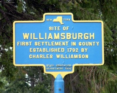
Site of Williamsburgh first settlement in county established 1792 by Charles Williamson.
Erected 1932 by New York State Education Department.
Topics. This historical marker is listed in these topic lists: Cemeteries & Burial Sites • Settlements & Settlers. A significant historical year for this entry is 1792.
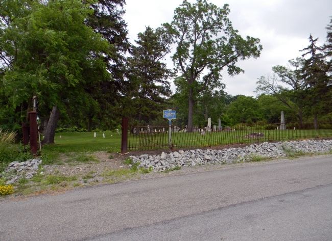
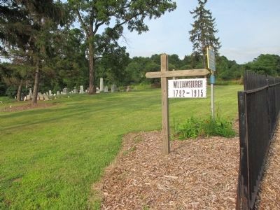
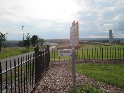
Location. 42° 44.888′ N, 77° 49.944′ W. Marker is near Mount Morris, New York, in Livingston County. Marker is on Abele Road, 0.2 miles east of Mount Morris-Geneseo Road (New York State Route 63), on the right when traveling east. Touch for map. Marker is in this post office area: Mount Morris NY 14510, United States of America. Touch for directions.
Other nearby markers. At least 8 other markers are within 3 miles of this marker, measured as the crow flies. Williamsburg (approx. 0.2 miles away); The Genesee Valley (approx. 1.4 miles away); John Wesley Powell (approx. 2˝ miles away); Moscow Landing (approx. 2˝ miles away); The International Society of Arboriculture and the National Arborist Association (approx. 2˝ miles away); Routes of the Armies (approx. 2˝ miles away); Genesee Castle (approx. 2˝ miles away); This wayside shrine marks the place (approx. 2˝ miles away). Touch for a list and map of all markers in Mount Morris.
Related marker. Click here for another marker that is related to this marker. To better understand the relationship, study the marker shown.
Also see . . .
1. Williamsburg Cemetery. The New Society of the Genesee website entry (Submitted on July 4, 2011, by PaulwC3 of Northern, Virginia.)
2. Williamsburg Cemetery - National Archives. National Register of Historic Places documentation (Submitted on October 17, 2023, by Anton Schwarzmueller of Wilson, New York.)
Credits. This page was last revised on October 17, 2023. It was originally submitted on July 4, 2011, by PaulwC3 of Northern, Virginia. This page has been viewed 612 times since then and 22 times this year. Photos: 1, 2. submitted on July 4, 2011, by PaulwC3 of Northern, Virginia. 3, 4. submitted on August 17, 2014, by Anton Schwarzmueller of Wilson, New York.


