Near Brandy Station in Culpeper County, Virginia — The American South (Mid-Atlantic)
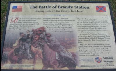
The Battle of Brandy Station
Buying Time on the Beverly Ford Road
As the gunners fell back, horsemen of the 6th and 7th Virginia Cavalry Regiments raced down the ford road to delay the enemy. In the rush some Confederates rode bareback and some were barefooted. All were determined to buy time for the other Confederate brigades to form a line of battle to the rear.
At this spot, the Virginians clashed with troopers from the 8th New York and 8th Illinois Cavalries. In the melee, Col. Benjamin "Grimes" Davis, commander of the Union advance, was killed.
Brig. Gen. John Buford spent several hours getting his Federals across the river, untangling the confusion caused by Davis' death, and deploying his troops. By 6:45 a.m. Buford was ready to test the Confederate soldiers ready for him near St. James Church.
Help Preserve Battlefields • call CWPT at 1-888-606-1400 • www.civilwar.org • The Hallowell Foundation generously contributed toward the interpretation of this site in memory of Carrington Williams.
This material is based upon work assisted by a grant from the Department of the Interior, National Park Service. Any opinion, findings and conclusions or recommendations expressed in this material are those of the author(s) and do not necessarily reflect the views of the Department of the Interior.
Erected by Civil War Preservation Trust.
Topics. This historical marker is listed in this topic list: War, US Civil. A significant historical date for this entry is June 9, 1634.
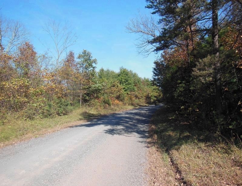
Location. 38° 32.032′ N, 77° 51.452′ W. Marker is near Brandy Station, Virginia, in Culpeper County. Marker is on Beverly Ford Road (County Route 676), on the right when traveling north. Located at the third trail wayside stop for the Buford's Knoll Walking Trail of the the Battle of Brandy Station. Touch for map. Marker is in this post office area: Brandy Station VA 22714, United States of America. Touch for directions.
Other nearby markers. At least 8 other markers are within walking distance of this marker. A different marker also named The Battle of Brandy Station (a few steps from this marker); a different marker also named The Battle of Brandy Station (about 300 feet away, measured in a direct line); The 1863-64 Winter Encampment
More about this marker. The background of the marker shows "Union Colonel 'Grimes' Davis (left) duels with Confederate Lieutenant F. Owens Allen in Don Stivers' painting, The Mortal Encounter, courtesy of Don Stivers Publishing."
Regarding The Battle of Brandy Station. This is one of several markers interpreting the Battle of Brandy Station and the winter encampments of 1863-64 in Culpeper County. See the Battle of Brandy Station Virtual Tour by Markers linked below for additional related markers.
Also see . . .
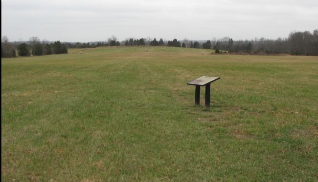
Photographed By Craig Swain, December 22, 2007
3. The Third Wayside on the Buford's Knoll Walling Trail
A farm lane on the left side of view heads almost due north, parallel generally to the Beverly Ford Road. Just beyond the high ground on the far side of this field is Ruffans Run. Federal and Confederate skirmishers fought across this ground in the opening phases of the battle.
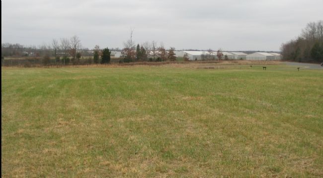
Photographed By Craig Swain
4. Confederate Artillery
Confederate artillery were camped around the high ground where the marker is currently located. From this angle, looking back to the parking lot, Beverly Ford Road runs parallel to the modern day Airport fence line (with storage buildings and hangars in the background). The parking lot for the trail is on the right. At the time of the battle, artillery posted here would have a clear, and commanding, view along the road out nearly to the ford, affording the detailed Washington Artillery a good field of fire against the advancing Federals.
Photographed By Craig Swain, December 22, 2007
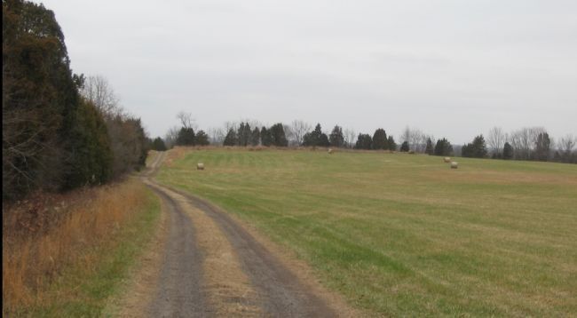
5. Looking North along the Farm Lane
Another view to the north, this along the farm lane. Where the lane crosses Ruffans Run, a bridge allows access to Buford's Knoll and the last set of wayside markers along the trail. The bridge, of course, was not in place at the time of the battle. Therefore, to some degree, the creek split the field of the north part of the battlefield into two separate fields, one here along Beverly Ford Road and the other to the north near what is now called Buford's Knoll.
Credits. This page was last revised on February 17, 2021. It was originally submitted on December 30, 2007, by Craig Swain of Leesburg, Virginia. This page has been viewed 1,927 times since then and 45 times this year. Photos: 1. submitted on December 30, 2007, by Craig Swain of Leesburg, Virginia. 2. submitted on March 13, 2009, by Craig Swain of Leesburg, Virginia. 3. submitted on December 30, 2007, by Craig Swain of Leesburg, Virginia. 4. submitted on December 28, 2007, by Craig Swain of Leesburg, Virginia. 5. submitted on December 30, 2007, by Craig Swain of Leesburg, Virginia. 6. submitted on February 16, 2021, by Bradley Owen of Morgantown, West Virginia.
