Congers in Rockland County, New York — The American Northeast (Mid-Atlantic)
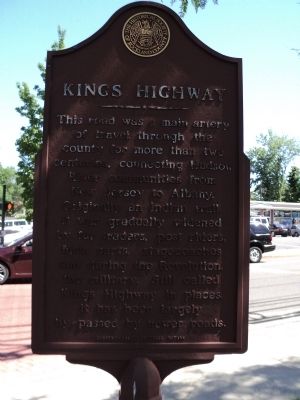
Kings Highway
This road was a main artery of travel through the county for more than two centuries, connecting Hudson River communities from New Jersey to Albany. Originally an Indian trail, it was gradually widened by fur traders, post riders, farm carts, stagecoaches and during the Revolution, the military. Still called Kings Highway in places, it has been largely by-passed by newer roads.
Erected by Historical Society of Rockland County.
Topics and series. This historical marker is listed in this topic list: Roads & Vehicles. In addition, it is included in the New York, Historical Society of Rockland County series list.
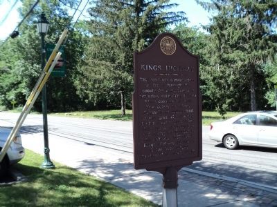
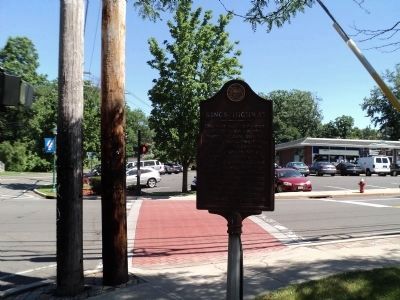
Location. 41° 9.041′ N, 73° 56.73′ W. Marker is in Congers, New York, in Rockland County. Marker is at the intersection of Kings Highway and Lake Road (County Route 80), on the right when traveling north on Kings Highway. Marker is at the southeast corner of the intersection. Touch for map. Marker is in this post office area: Congers NY 10920, United States of America. Touch for directions.
Other nearby markers. At least 8 other markers are within 2 miles of this marker, measured as the crow flies. Congers School (about 400 feet away, measured in a direct line); Congers World War I Memorial (about 400 feet away); Snedeker Farm (approx. 0.2 miles away); Congers Station (approx. ¼ mile away); St. Paul’s Church (approx. half a mile away); Paul Farmhouse (approx. one mile away); Congers Lake Dam (approx. one mile away); Doctor Davies Farm (approx. 1.2 miles away). Touch for a list and map of all markers in Congers.
Credits. This page was last revised on June 16, 2016. It was originally submitted on July 5, 2011, by Bill Coughlin of Woodland Park, New Jersey. This page has been viewed 1,072 times since then and 49 times this year. Photos: 1, 2, 3. submitted on July 5, 2011, by Bill Coughlin of Woodland Park, New Jersey.


