Near Culpeper in Culpeper County, Virginia — The American South (Mid-Atlantic)
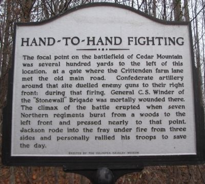
Hand-to-Hand Fighting
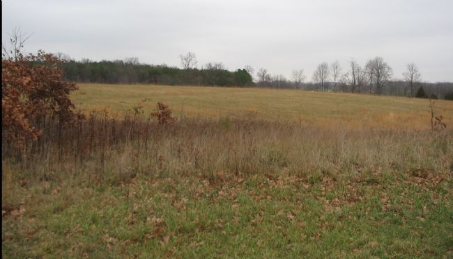
The focal point on the battlefield of Cedar Mountain was several hundred yards to the left of this location, at a gate where the Crittenden farm lane met the old main road. Confederate artillery around that site duelled enemy guns to their right front: during that firing, General C.S. Winder of the "Stonewall" Brigade was mortally wounded there. The climax of the battle erupted when seven Northern regiments burst from a woods to the left front and pressed nearly to that point. Jackson rode into the fray under fire from three sides and personally rallied his troops to save the day.
Erected by The Culpeper Cavalry Museum.
Topics. This historical marker is listed in this topic list: War, US Civil.
Location. 38° 24.305′ N, 78° 4.128′ W. Marker is near Culpeper, Virginia, in Culpeper County. Marker is at the intersection of General Winder Road (County Route 657) and James Madison Highway (U.S. 15), on the right when traveling west on General Winder Road. Located at the pull-off and trail head for the Civil War Preservation Trust's Cedar Mountain Battlefield walking trail. Touch for map. Marker is in this post office area: Culpeper VA 22701, United States of America. Touch for directions.
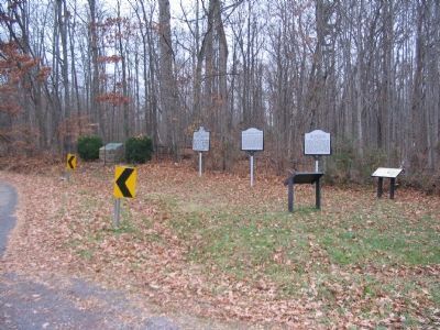
Other nearby markers. At least 8 other markers are within walking distance of this marker. Battle of Cedar Mountain (a few steps from this marker); a different marker also named The Battle of Cedar Mountain (a few steps from this marker); a different marker also named Battle of Cedar Mountain (a few steps from this marker); a different marker also named Battle of Cedar Mountain (within shouting distance of this marker); a different marker also named Battle of Cedar Mountain (about 400 feet away, measured in a direct line); a different marker also named Battle of Cedar Mountain (approx. 0.2 miles away); a different marker also named Battle of Cedar Mountain (approx. 0.2 miles away); a different marker also named Battle of Cedar Mountain (approx. 0.2 miles away). Touch for a list and map of all markers in Culpeper.
Regarding Hand-to-Hand Fighting. This is one of several markers interpreting the Battle of Cedar Mountain. See the Battle of Cedar Mountain Virtual Tour by Markers linked below.
Also see . . .
1. Battle of Cedar Mountain. Wikipedia entry (Submitted on January 16, 2024, by Larry Gertner of New York, New York.)
2. Tour Cedar Creek Battlefield. National Park Service
summary of the battle and driving tour. The marker is at the first tour stop. (Submitted on December 30, 2007, by Craig Swain of Leesburg, Virginia.)
3. Battle of Cedar Mountain Virtual Tour by Markers. A set markers that document the Battle of Cedar Mountain, August 9, 1862. (Submitted on January 1, 2008, by Craig Swain of Leesburg, Virginia.)

Photographed By Craig Swain, December 22, 2007
3. Clash of Crawford's and Garnett's Brigdes
Looking to the northwest from the second walking trail stop, this ground was heavily wooded at the time of the battle. In the late afternoon, following the long artillery duel, Federal infantry under General Samuel Crawford pushed through a weak point in the Confederate lines and fought at close quarters with Confederates in Col. T.S. Garnett's Brigade. Normally in the Civil War combat was initiated at range, and often neither combatant approached closer than pistol range. But here, because of the terrain, particularly the wooded thicket, both sides were close enough to touch when the firing started.
Credits. This page was last revised on January 16, 2024. It was originally submitted on December 30, 2007, by Craig Swain of Leesburg, Virginia. This page has been viewed 2,161 times since then and 59 times this year. Photos: 1, 2. submitted on December 30, 2007, by Craig Swain of Leesburg, Virginia. 3. submitted on January 1, 2008, by Craig Swain of Leesburg, Virginia.

