
West Dawson in Unorganized Yukon, Yukon — The Northern Territories (North America)
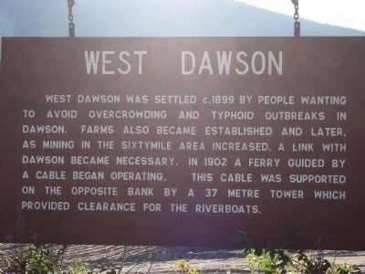
West Dawson
Photographed by Barry Swackhamer, August 4, 2010
1. West Dawson Marker
Topics. This historical marker is listed in these topic lists: Settlements & Settlers • Waterways & Vessels. A significant historical year for this entry is 1899.
Location. 64° 4.3′ N, 139° 26.222′ W. Marker is in West Dawson, Yukon, in Unorganized Yukon. It is on Top of the World Highway. This marker is located near the west-side ferry landing on the Top of the World Highway. Touch for map. Marker is in this post office area: West Dawson YT Y0B 0A3, Canada. Touch for directions.

Regionally, this marker is in the Canadian North. Globally, it is in North America, on the Ring of Fire, in the Arctic, in the Western Hemisphere, and in the Western World. Historically, it finds itself in what was once a British colony.
Other nearby
this page online
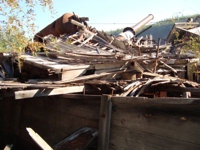
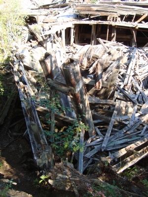
Regarding West Dawson. West Dawson is the location of the Paddlewheel Graveyard. A half dozen paddlewheel steamboats were pulled ashore there in hopes of their future use, but their time had past. They were left to rot and collapse, and the forest is slowly encroached on them. The Paddlewheel graveyard may be accessed by walking to the end of Yukon Government Campground at West Dawson, then making one's way to the Yukon River and walking downstream along the river bank.
Photographed by Barry Swackhamer, August 4, 2010
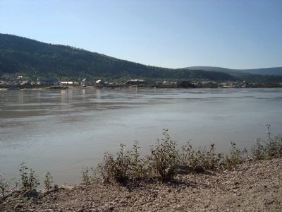
2. Dawson City from West Dawson
Additional keywords. Klondike Gold Rush
Photographed by Barry Swackhamer, August 2, 2010
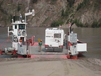
3. The Yukon River ferry at West Dawson.
The cable ferry is no longer in use.
Photographed by Barry Swackhamer, circa 2007
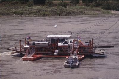
4. The Lytton Cable Ferry
"This is a "reaction" ferry which crosses the Fraser River just north of Lytton on Highway 12. There is a cable above the water which guides the ferry across rudders adjusted to benefit from the current. There are no motors and it runs 365 days a year, provided there are no ice floes or debris coming down the river."
Lytton Ferry postcard.
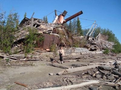
Photographed by Barry Swackhamer, August 4, 2010
5. The Paddlewheel Graveyard #1.
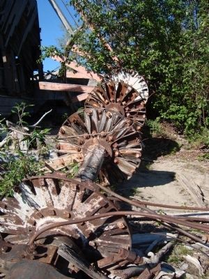
Photographed by Barry Swackhamer, August 4, 2010
6. The Paddlewheel Graveyard #2.
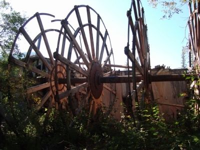
Photographed by Barry Swackhamer, August 4, 2010
7. The Paddlewheel Graveyard #3.
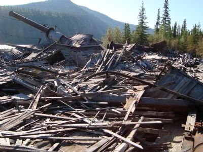
Photographed by Barry Swackhamer, August 4, 2010
8. The Paddlewheel Graveyard #4.
Photographed by Barry Swackhamer, August 4, 2010
9. The Paddlewheel Graveyard #5.
Photographed by Barry Swackhamer, August 4, 2010
10. The Paddlewheel Graveyard #6.
Credits. This page was last revised on July 28, 2026. It was originally submitted on July 18, 2011, by Barry Swackhamer of Brentwood, California. This page has been viewed 1,699 times since then and 93 times this year. Photos: 1, 2, 3, 4, 5, 6, 7, 8, 9, 10. submitted on July 18, 2011, by Barry Swackhamer of Brentwood, California. • Bill Pfingsten was the editor who published this page.
