Connersville in Fayette County, Indiana — The American Midwest (Great Lakes)
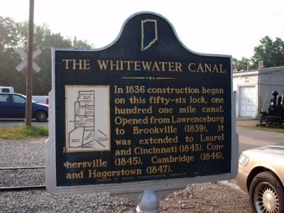
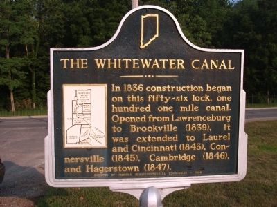
The Whitewater Canal
Erected 1966 by Indiana Sesquicentennial Commission. (Marker Number 21.1966.1.)
Topics and series. This historical marker is listed in these topic lists: Agriculture • Industry & Commerce • Settlements & Settlers • Waterways & Vessels. In addition, it is included in the Indiana Historical Bureau Markers series list. A significant historical year for this entry is 1836.
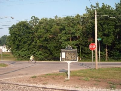
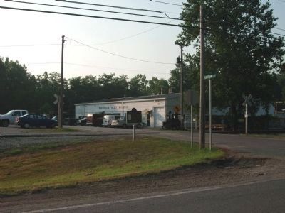
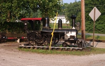
Location. 39° 37.939′ N, 85° 8.621′ W. Marker is in Connersville, Indiana, in Fayette County. Marker is at the intersection of South Grand Avenue (State Road 121) and South Eastern Avenue, on the left when traveling south on South Grand Avenue. Located by intersection at "Whitewater Valley Railroad" building on South side of Connersville, Indiana. Touch for map. Marker is in this post office area: Connersville IN 47331, United States of America. Touch for directions.
Other nearby markers. At least 8 other markers are within walking distance of this marker. "Elmhurst" (about 300 feet away, measured in a direct line); Canal House (approx. 0.6 miles away); Whitewater Valley Arts Association Inc. (approx. 0.6 miles away); John Conner (approx. 0.6 miles away); Fayette County Honor Rolls (approx. 0.6 miles away); Fayette County, Indiana (approx. 0.6 miles away); Monty (approx. 0.6 miles away); Oldest Buisness Building (approx. 0.6 miles away). Touch for a list and map of all markers in Connersville.
Credits. This page was last revised on June 16, 2016. It was originally submitted on July 19, 2011, by Al Wolf of Veedersburg, Indiana. This page has been viewed 734 times since then and 14 times this year. Photos: 1, 2, 3, 4, 5. submitted on July 19, 2011, by Al Wolf of Veedersburg, Indiana. • Bill Pfingsten was the editor who published this page.
