Near Shirleysburg in Huntingdon County, Pennsylvania — The American Northeast (Mid-Atlantic)
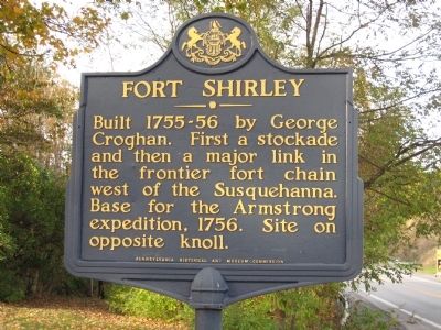
Fort Shirley
Erected by Pennsylvania Historical and Museum Commission.
Topics and series. This historical marker is listed in these topic lists: Forts and Castles • Settlements & Settlers • War, French and Indian. In addition, it is included in the Pennsylvania Historical and Museum Commission series list. A significant historical year for this entry is 1756.
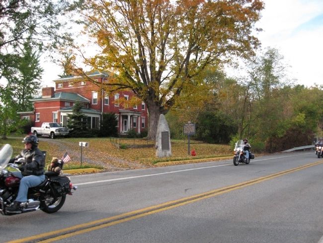
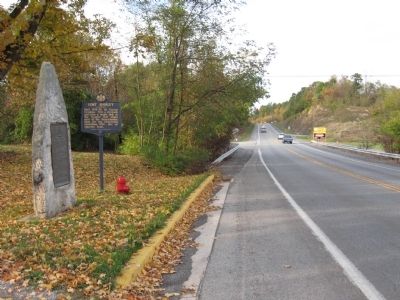
Location. 40° 18.074′ N, 77° 52.449′ W. Marker is near Shirleysburg, Pennsylvania, in Huntingdon County. Marker is on Croghan Pike, on the right when traveling south. Touch for map. Marker is at or near this postal address: 16872 Croghan Pike, Shirleysburg PA 17260, United States of America. Touch for directions.
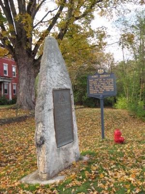
Other nearby markers. At least 8 other markers are within 6 miles of this marker, measured as the crow flies. A different marker also named Fort Shirley (here, next to this marker); Orbisonia (approx. 4 miles away); Bedford Furnace (approx. 4.3 miles away); East Broad Top Railroad (approx. 4.4 miles away); Admiral Wm Sims (approx. 4.6 miles away); Juniata Iron (approx. 4.6 miles away); Mount Union Area Veterans Memorial (approx. 5.6 miles away); Stone House (approx. 5.9 miles away).
Also see . . .
1. Behilnd the Marker - Stories in PA Hisotry. (Submitted on July 21, 2011, by Howard C. Ohlhous of Duanesburg, New York.)
2. Exploring Pennsylvania History in the Ground: Fort Shirley Excavation. (Submitted on July 21, 2011, by Howard C. Ohlhous of Duanesburg, New York.)
Credits. This page was last revised on June 16, 2016. It was originally submitted on July 21, 2011, by Howard C. Ohlhous of Duanesburg, New York. This page has been viewed 1,446 times since then and 76 times this year. Photos: 1, 2, 3, 4. submitted on July 21, 2011, by Howard C. Ohlhous of Duanesburg, New York. • Bill Pfingsten was the editor who published this page.


