Beaver in Beaver County, Pennsylvania — The American Northeast (Mid-Atlantic)
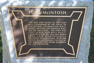
Fort McIntosh
You Are Here
Topics. This historical marker is listed in these topic lists: Anthropology & Archaeology • Forts and Castles.
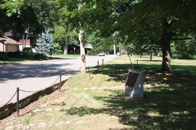
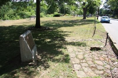
Location. 40° 41.473′ N, 80° 18.204′ W. Marker is in Beaver, Pennsylvania, in Beaver County. Marker is at the intersection of River Road and Insurance Street, on the right when traveling east on River Road. This historical marker is located in the residential section on the south side of town, in a roadside park, along the Ohio River. Touch for map. Marker is in this post office area: Beaver PA 15009, United States of America. Touch for directions.
Other nearby markers. At least 8 other markers are within walking distance of this marker. A different marker also named Fort McIntosh (a few steps from this marker); a different marker also named Fort McIntosh (a few steps from this marker); Down The Ohio (a few steps from this marker); a different marker also named Fort McIntosh (within shouting distance of this marker); General Lachlan McIntosh (within shouting distance of this marker); a different marker also named Fort McIntosh (within shouting distance of this marker); Fort McIntosh 1978 The Site Restoration (within shouting distance of this marker); Commanding Officers (within shouting distance of this marker). Touch for a list and map of all markers in Beaver.
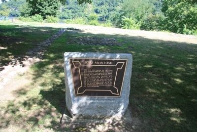
More about this marker. There are four of these historical markers, that look exactly alike, but each having its own text, that are located very near to each other, at the site of Fort McIntosh. Of those four historical markers, this particular historical marker is located in the northeast area of the site.
Credits. This page was last revised on June 16, 2016. It was originally submitted on July 22, 2011, by Dale K. Benington of Toledo, Ohio. This page has been viewed 566 times since then and 8 times this year. Photos: 1, 2, 3, 4. submitted on July 22, 2011, by Dale K. Benington of Toledo, Ohio.


