Papakeechie's Reserve
Eastbound Side:
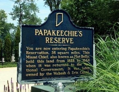
You are now entering Papakeechie's Reservation, 36 square miles. This Miami Chief, also known as Flat Belly, held this land from 1828 to 1834 when it was returned to the National Government. It was later owned by the Wabash & Erie Canal.
Westbound Side:
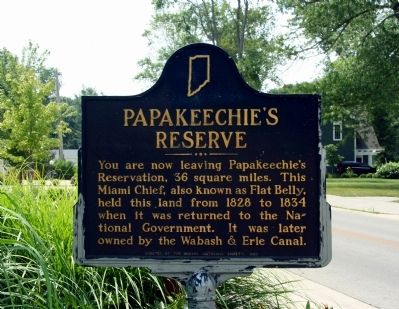
You are now leaving Papakeechie's Reservation, 36 square miles. This Miami Chief, also known as Flat Belly, held this land from 1828 to 1834 when it was returned to the National Government. It was later owned by the Wabash & Erie Canal.
Erected 1962 by Indiana Historical Society. (Marker Number 43.1962.1.)
Topics and series. This historical marker is listed in this topic list: Native Americans. In addition, it is included in the Indiana Historical Bureau Markers series list. A significant historical year for this entry is 1828.
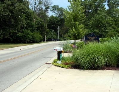
Location. 41° 25.033′ N, 85° 42.333′ W. Marker is near Syracuse, Indiana, in Kosciusko County. Marker is on Eli Lily Road, 0.6 miles east of Warner Road, on the right when traveling east. Touch for map. Marker is at or near this postal address: 7299 Eli Lilly Road, Syracuse IN 46567, United States of America. Touch for directions.
Other nearby markers. At least 8 other markers are within 5 miles of this marker, measured as the crow flies. Indian Hill (approx. 2.1 miles away); Crosson Park (approx. 2.4 miles away); Last Tract of Land Owned by Miami
Also see . . . Papakeechie's Reserve Marker Review. This marker is currently under review by the State of Indiana. (Submitted on July 23, 2011, by Dave Zollinger of Goshen, Indiana.)
Credits. This page was last revised on June 16, 2016. It was originally submitted on July 23, 2011, by Dave Zollinger of Goshen, Indiana. This page has been viewed 1,065 times since then and 61 times this year. Photos: 1, 2, 3. submitted on July 23, 2011, by Dave Zollinger of Goshen, Indiana. • Bill Pfingsten was the editor who published this page.


