Columbia in Richland County, South Carolina — The American South (South Atlantic)
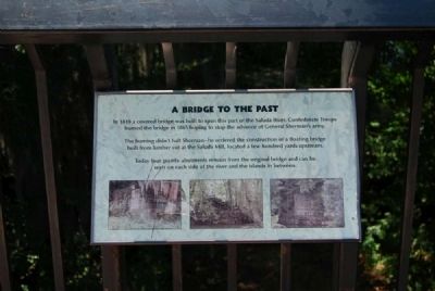
A Bridge to the Past
The burning didn't halt Sherman -- he ordered the construction of a floating bridge built from timber cut at the Saluda Mill, located a few hundred yards upstream.
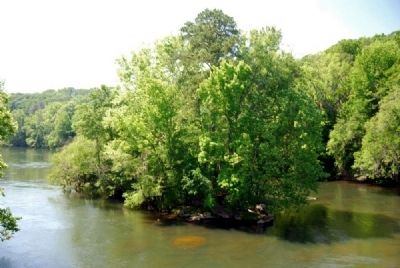
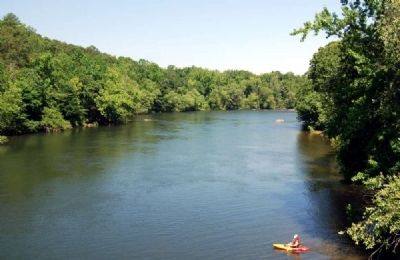
Today, four granite abutments remain from the original bridge and can be seen on each side of the river and the islands in between.
Topics. This historical marker is listed in these topic lists: Bridges & Viaducts • War, US Civil. A significant historical year for this entry is 1819.
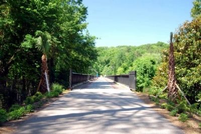
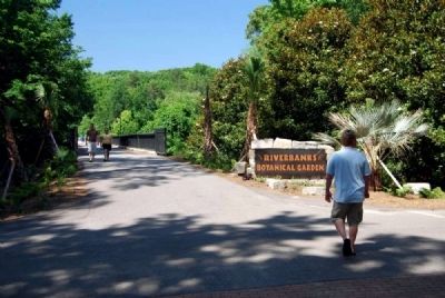
Location. 34° 0.534′ N, 81° 4.554′ W. Marker is in Columbia, South Carolina, in Richland County. Marker can be reached from Wildlife Parkway. Marker is located on the grounds of Riverbanks Zoo & Gardens, at the eastern end of the walking bridge that spans the Saluda River and connects the Zoo with the Gardens. Touch for map. Marker is at or near this postal address: 500 Wildlife Parkway, Columbia SC 29210, United States of America. Touch for directions.
Other nearby markers. At least 10 other markers are within 2 miles of this marker, measured as the crow flies. Saluda Factory Ruins (approx. 0.3 miles away); Saluda Factory Cemetery (approx. 0.6 miles away); Shelling of Columbia (approx. 1.1 miles away); Benjamin Franklin Randolph Monument (approx. 1.2 miles away); Broad River (approx. 1.3 miles away); Unknown Confederate Dead Monument (approx. 1.3 miles away); Elmwood Cemetery Confederate Soldiers (approx. 1.3 miles away); Confederate Soldiers 1861-1865 (approx. 1.3 miles away); George Elmore (approx. 1.3 miles away); Randolph Cemetery (approx. 1.4 miles away). Touch for a list and map of all markers in Columbia.
Also see . . .
1. Saluda River. The Saluda River is a principal tributary of the Congaree River, about 200 mi (320 km) long, in northern and western South Carolina in the United States. (Submitted on July 25, 2011, by Brian Scott of Anderson, South Carolina.)
2. William Tecumseh Sherman. William Tecumseh Sherman (February 8, 1820 – February 14, 1891) was an American soldier, businessman, educator and author. (Submitted on July 25, 2011, by Brian Scott of Anderson, South Carolina.)
3. Riverbanks Zoo & Gardens. Official site of Riverbanks Zoo & Gardens. (Submitted on July 25, 2011, by Brian Scott of Anderson, South Carolina.)
Additional commentary.
1. A Bridge to the Past marker is wrong.
They marker's text reads four abutments. Bridges only have two abutments. One on each end on the river bank. The stones in the river are called Piers and not abutments. So two abutments and two piers.
— Submitted July 19, 2013, by Dean Hunt of Lexington, South Carolina.
Credits. This page was last revised on June 16, 2016. It was originally submitted on July 25, 2011, by Brian Scott of Anderson, South Carolina. This page has been viewed 1,185 times since then and 40 times this year. Photos: 1, 2, 3, 4, 5. submitted on July 25, 2011, by Brian Scott of Anderson, South Carolina.
