Browning in Glacier County, Montana — The American West (Mountains)
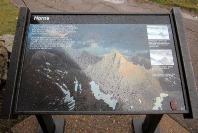
Horns
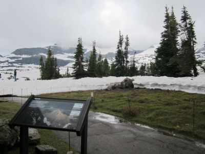
There are glacial horns in many locations throughout the park. But the only sure way to identify a horn is to hike around it or view it from other perspectives. Clements Mountain (behind you and to the right), despite its jagged profile, is not a true glacial horn.
Topics. This historical marker is listed in this topic list: Science & Medicine.
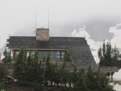
Location. 48° 41.71′ N, 113° 43.084′ W. Marker is in Browning, Montana, in Glacier County. Marker can be reached from Going-To-The-Sun-Road, 18 miles west of U.S. 89. Marker is located behind the Logan Pass Visitor Center. Touch for map. Marker is in this post office area: Browning MT 59417, United States of America. Touch for directions.
Other nearby markers. At least 8 other markers are within 10 miles of this marker, measured as the crow flies. Stephen Tyng Mather (within shouting distance of this marker); Choosing a Route (approx. 5.6 miles away); Motoring In (approx. 7.3 miles away); When the Glaciers Melt (approx. 7.6 miles away); Overnight in the Wilderness (approx. 7.6 miles away); Historic Boats (approx. 9.1 miles away); Time Machines (approx. 9.1 miles away); Wilderness Architecture (approx. 9.1 miles away).
More about this marker. On the top right are artist renderings with the captions, "A horn is also a measure of a glacier's thickness. At Logan Pass during the Pleistocene only the highest peaks were visible above the ice." and "Three separate glaciers actively quarried all three sides of Mt. Reynolds."
The panel background photo caption reads, "When the glaciers retreated, they left this steep pyramid of rock."
Also see . . . Glacier National Park. U.S. National Park Service (Submitted on July 26, 2011, by Bernard Fisher of Richmond, Virginia.)
Credits. This page was last revised on June 16, 2016. It was originally submitted on July 26, 2011, by Bernard Fisher of Richmond, Virginia. This page has been viewed 652 times since then and 8 times this year. Photos: 1, 2, 3. submitted on July 26, 2011, by Bernard Fisher of Richmond, Virginia.


