Flambeau Trail – Gateway to the Flambeau Trail
Iron County Heritage Area
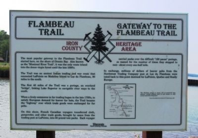
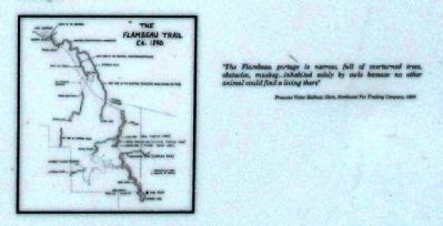
The Trail was an ancient Indian trading and war route that connected LaPointe on Madeline Island to Lac du Flambeau, 90 miles to the south.
The first 45 miles of the Trail was a portage, an overland “bridge”, linking Lake Superior to navigable river ways to the south.
When a lively commerce in fur trading began in the late 1700’s, to satisfy European demand for beaver fur hats, the Trail became the “highway” over which trade goods were exchanged for fur pelts.
On this shore, French Canadian voyagers transferred cloth, gunpowder, and other trade goods, brought by canoe from the trading post at LaPointe, into 80 pound tote packs. Each voyager carried packs over the difficult “120 pause” portage, so named for the number of times they stopped to rest – about every one-half mile.
In exchange, millions of dollars of beaver pelts from the Northwest
this page online
Topics. This historical marker is listed in these topic lists: Exploration • Indigenous Peoples and Communities.
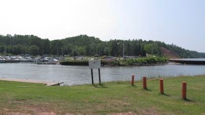
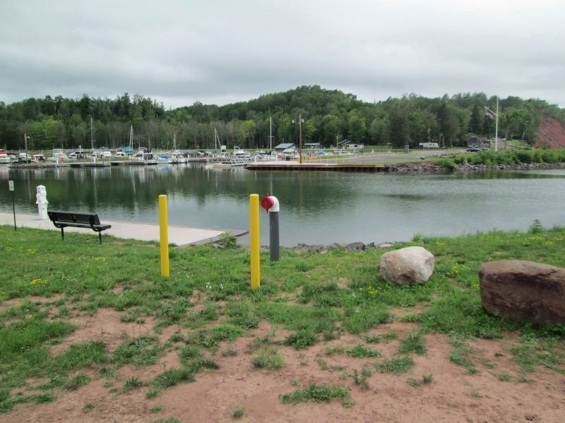
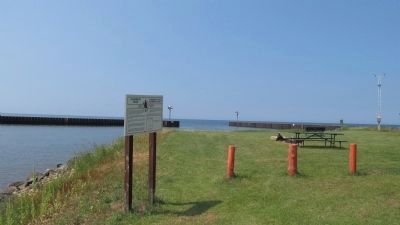
Location. Marker is missing. It was located near 46° 33.722′ N, 90° 26.246′ W. Marker was in Saxon Harbor, Wisconsin, in Iron County. It could be reached from County Road A 2 miles north of State Route 122. Marker is located in Saxon Harbor County Park, in east parking lot. Touch for map. Marker was in this post office area: Saxon WI 54559, United States of America. Touch for directions.

Regionally, this marker was in Copper Country and on the North Shore. It was also in the American Midwest and in the Corn Belt. Globally, it was in North America, the Great North Woods, the Western Hemisphere, the Western World, and the Anglosphere. Historically, it found itself in what was once the territory of the Mississippian Culture and also the Northwest Territory.
Other nearby markers. At least 8 other markers are within 14 miles of this location,
Credits. This page was last revised on August 3, 2020. It was originally submitted on July 27, 2011, by Paul Fehrenbach of Richfield, Wisconsin. This page has been viewed 1,010 times since then and 47 times this year. Photos: 1, 2, 3. submitted on July 27, 2011, by Paul Fehrenbach of Richfield, Wisconsin. 4. submitted on August 1, 2020, by Jim Schaettle of Madison, Wisconsin. 5. submitted on July 27, 2011, by Paul Fehrenbach of Richfield, Wisconsin. • Bill Pfingsten was the editor who published this page.
