Flambeau Trail – Flambeau Trail Crossing
Iron County Heritage Area
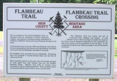
Until railroads came in the late 1880’s, the Flambeau Trail offered the only transportation link between the Lake Superior watershed to the north and the Mississippi watershed to the south.
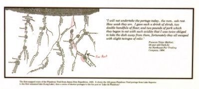
When travellers arrived at this point, they had already portaged 27 miles uphill from Lake Superior and over the Penokee Mountain Range. Eighteen more miles of overland travel remained to cross the Continental Divide. There navigable waters at Long Lake offered easier travel by canoe to points south.
The Flambeau Trail was narrow and full of overturned trees, Muskeg, and thickets. It took between 2 1/2 to 7 days to portage and paddle the length of the Trail to Lac du Flambeau depending on trail conditions, the load to be carried, and the motivation of the travellers. It was considered among the most difficult portages in the old Northwest Territories.
Topics. This historical marker is listed
this page online
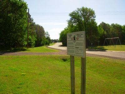
Location. 46° 25.645′ N, 90° 15.384′ W. Marker is in Montreal, Wisconsin, in Iron County. It is at the intersection of Wisconsin Avenue (State Highway 77) and Elm Street, on the right when traveling west on Wisconsin Avenue. Touch for map. Marker is in this post office area: Montreal WI 54550, United States of America. Touch for directions.

Regionally, this marker is in Copper Country and on the North Shore. It is also in the American Midwest and in the Corn Belt. Globally, it is in North America, the Great North Woods, the Western Hemisphere, the Western World, and the Anglosphere. Historically, it finds itself in what was once the territory of the Mississippian Culture and also the Northwest Territory.
Other nearby markers. At least 8 other markers are within 3 miles of this marker, measured as the crow flies: Penokee Iron Range Trail – A Company Town (approx. 0.9 miles away); Penokee Iron Range Trail – Montreal Location (approx. 0.9 miles away); George W. Sullivan (approx. 1.2 miles away); The City of Montreal
Another marker is no longer nearby. Montreal Trails – The Montreal Mine (was approx. 1.2 miles away but has been confirmed missing).
Credits. This page was last revised on June 16, 2016. It was originally submitted on July 27, 2011, by Paul Fehrenbach of Richfield, Wisconsin. This page has been viewed 884 times since then and 38 times this year. Photos: 1, 2, 3. submitted on July 27, 2011, by Paul Fehrenbach of Richfield, Wisconsin. • Bill Pfingsten was the editor who published this page.
