Jamestown in James City County, Virginia — The American South (Mid-Atlantic)
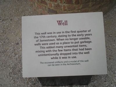
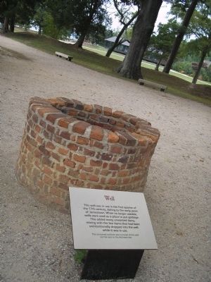
Well
This well was in use in the first quarter of the 17th century, dating to the early years of Jamestown. When no longer usable, wells were used as a place to put garbage. This added many unwanted item, mixing with the few items that had been unintentionally dropped into the well while it was in use.
The recovered artifacts and a model of this well can be seen in the Archaearium.
Erected by Colonial National Historical Park, National Park Service.
Topics. This historical marker is listed in this topic list: Colonial Era.
Location. 37° 12.534′ N, 76° 46.773′ W. Marker is in Jamestown, Virginia, in James City County. Marker can be reached from Colonial Parkway, on the right when traveling west. Marker is in the "Old Towne" section of the Historic Jamestown unit of Colonial National Historic Park. Touch for map. Marker is in this post office area: Jamestown VA 23081, United States of America. Touch for directions.
Other nearby markers. At least 8 other markers are within walking distance of this marker. Burial (a few steps from this marker); Confederate Earthworks (within shouting distance of this marker); The Hunt Shrine (within shouting distance of this marker); Robert Hunt (within shouting distance of this marker); James Fort Site 1607 – 1624 (within shouting distance of this marker); Storehouse & First Well (about 300 feet away, measured in a direct line); Captain John Smith (about 300 feet away); a different marker also named Captain John Smith (about 300 feet away).
Also see . . .
1. Historic Jamestowne. Colonial National Historic Park from National Park Service website. (Submitted on July 30, 2011, by Bill Coughlin of Woodland Park, New Jersey.)
2. Historic Jamestowne. Historic Jamestowne is the site of the first permanent English settlement in America. The site is jointly administered by APVA Preservation Virginia and the National Park Service. (Submitted on July 30, 2011, by Bill Coughlin of Woodland Park, New Jersey.)
Credits. This page was last revised on June 16, 2016. It was originally submitted on July 30, 2011, by Bill Coughlin of Woodland Park, New Jersey. This page has been viewed 420 times since then and 14 times this year. Photos: 1, 2. submitted on July 30, 2011, by Bill Coughlin of Woodland Park, New Jersey.

