Near Virginia City in Storey County, Nevada — The American Mountains (Southwest)
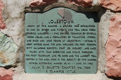
Lousetown
Erected 1968 by Julia C. Bulette Chapter No. 1864, E Clampus Vitus,. (Marker Number 41.)
Topics and series. This historical marker is listed in these topic lists: Roads & Vehicles • Settlements & Settlers. In addition, it is included in the E Clampus Vitus series list. A significant historical year for this entry is 1860.
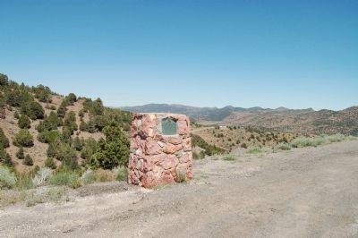
Location. 39° 21.099′ N, 119° 38.75′ W. Marker is near Virginia City, Nevada, in Storey County. Marker is on Geiger Grade Road (State Highway 341). Touch for map. Marker is in this post office area: Reno NV 89521, United States of America. Touch for directions.
Other nearby markers. At least 8 other markers are within 3 miles of this marker, measured as the crow flies. Old Geiger Grade (approx. 1.9 miles away); Hebrew Cemetery 1862 (approx. 2 miles away); The Comstock Lode (approx. 2.3 miles away); The Jewish Cemetery - Virginia City 1862 (approx. 2.4 miles away); Mary Jane Simpson (approx. 2.4 miles away); Veterans Day November 11th 1995 (approx. 2.4 miles away); Silver Terrace Cemeteries (approx. 2.4 miles away); Life in Virginia City on the Comstock Lode (approx. 2˝ miles away). Touch for a list and map of all markers in Virginia City.
Credits. This page was last revised on June 16, 2016. It was originally submitted on August 3, 2011, by Barry Swackhamer of Brentwood, California. This page has been viewed 1,017 times since then and 77 times this year. Photos: 1, 2. submitted on August 3, 2011, by Barry Swackhamer of Brentwood, California. • Syd Whittle was the editor who published this page.

