Near Alcalde in Rio Arriba County, New Mexico — The American Mountains (Southwest)
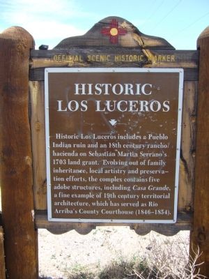
Historic Los Luceros
Erected by New Mexico Historic Preservation Division.
Topics. This historical marker is listed in these topic lists: Native Americans • Settlements & Settlers. A significant historical year for this entry is 1703.
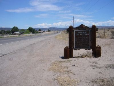
Location. 36° 6.571′ N, 106° 1.665′ W. Marker is near Alcalde, New Mexico, in Rio Arriba County. Marker is at the intersection of State Road 68 at milepost 8.7 and Los Luceros (County Road 48), on the right when traveling north on State Road 68. Touch for map. Marker is in this post office area: Alcalde NM 87511, United States of America. Touch for directions.
Other nearby markers. At least 8 other markers are within 9 miles of this marker, measured as the crow flies. San Gabriel (approx. 4½ miles away); Esther Martinez - P’oe Tsáwäˀ (1912-2006) (approx. 4½ miles away); Shrine of Our Lady of Lourdes (approx. 4½ miles away); Velarde (approx. 5½ miles away); Rio Grande Gaging Station (approx. 5.8 miles away); Dominguez Escalante Trail (approx. 6.7 miles away); Española Valley (approx. 7.4 miles away); Santa Cruz de la Cañada / Santa Cruz Plaza on the Camino Real (approx. 8.3 miles away).
Credits. This page was last revised on June 16, 2016. It was originally submitted on August 6, 2011, by Bill Kirchner of Tucson, Arizona. This page has been viewed 1,594 times since then and 29 times this year. Photos: 1, 2, 3. submitted on August 6, 2011, by Bill Kirchner of Tucson, Arizona. • Bernard Fisher was the editor who published this page.


