Falling Waters in Berkeley County, West Virginia — The American South (Appalachia)
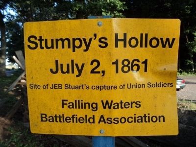
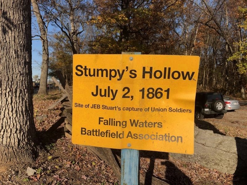
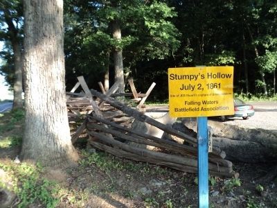
Stumpy’s Hollow
July 2, 1861
Inscription.
Site of JEB Stuart’s capture of Union Soldiers
Erected by Falling Waters Battlefield Association.
Topics. This historical marker is listed in this topic list: War, US Civil. A significant historical date for this entry is July 2, 1861.
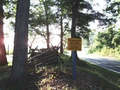
Location. 39° 32.937′ N, 77° 55.096′ W. Marker is in Falling Waters, West Virginia, in Berkeley County. Marker is at the intersection of Hammonds Mill Road (West Virginia Route 901) and St. Andrews Drive (County Road 3/1), on the right when traveling west on Hammonds Mill Road. Touch for map. Marker is at or near this postal address: 5086 Hammonds Mill Road, Falling Waters WV 25419, United States of America. Touch for directions.
Other nearby markers. At least 8 other markers are within 2 miles of this marker, measured as the crow flies. Battle of Falling Waters (a few steps from this marker); a different marker also named Battle of Falling Waters (approx. 0.7 miles away); a different marker also named Battle of Falling Waters (approx. ¾ mile away); General “Stonewall” Jackson (approx. 0.9 miles away); a different marker also named Battle of Falling Waters (approx. 0.9 miles away); Battle of Hoke's Run (approx. 1½ miles away); Battles of Falling Waters (approx. 1.8 miles away); Falling Waters (approx. 1.9 miles away in Maryland). Touch for a list and map of all markers in Falling Waters.
Also see . . . Battle of Falling Waters - July 2, 1861. Falling Waters Battlefield Association website homepage (Submitted on August 7, 2011, by Bill Coughlin of Woodland Park, New Jersey.)
Additional commentary.
1. Battle of Falling Waters
On July 2, 1861, 3,500 Union troops under Gen. Robert Patterson entered [West] Virginia north of here. His objective was to engage a Division under Gen. Joseph E. Johnston to prevent them from reinforcing the Confederates massing near Manassas. A company of the 15th Pennsylvania Volunteers rested at a split rail fence at this location while their captain reconnoitered. A mounted Lt. Colonel in a blue uniform approached and ordered the men to dismantle part of the fence so that he could pass. After the Pennsylvanians finished, the officer identified himself as Confederate JEB Stuart (still wearing his Union uniform) and demanded their surrender. With Confederate reinforcements arriving, the entire company complied. This was the start of the Battle of Falling Waters.
— Submitted August 7, 2011, by Bill Coughlin of Woodland Park, New Jersey.
Credits. This page was last revised on January 31, 2022. It was originally submitted on August 7, 2011, by Bill Coughlin of Woodland Park, New Jersey. This page has been viewed 2,428 times since then and 64 times this year. Photos: 1. submitted on August 7, 2011, by Bill Coughlin of Woodland Park, New Jersey. 2. submitted on November 6, 2020, by Devry Becker Jones of Washington, District of Columbia. 3, 4. submitted on August 7, 2011, by Bill Coughlin of Woodland Park, New Jersey.


