Near Carrizozo in Lincoln County, New Mexico — The American Mountains (Southwest)
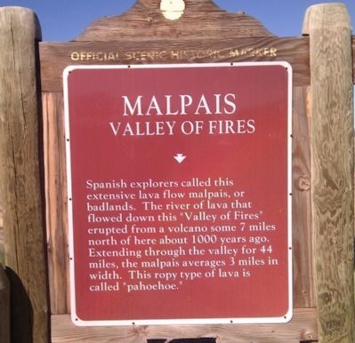
Malpais
Valley of Fires
Topics. This historical marker is listed in this topic list: Natural Features.
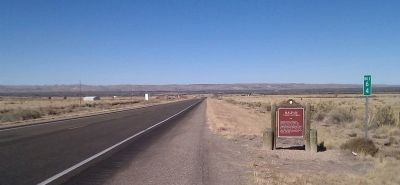
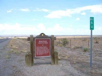
Location. 33° 39.563′ N, 105° 53.415′ W. Marker is near Carrizozo, New Mexico, in Lincoln County. Marker is on U.S. 380 at milepost 64,, 1˝ miles west of U.S. 54, on the right when traveling west. Touch for map. Marker is in this post office area: Carrizozo NM 88301, United States of America. Touch for directions.
Other nearby markers. At least 7 other markers are within 11 miles of this marker, measured as the crow flies. Carrizozo (approx. half a mile away); Carrizozo Woman's Club (approx. 1.3 miles away); a different marker also named Carrizozo (approx. 1˝ miles away); a different marker also named Carrizozo (approx. 1.7 miles away); a different marker also named Carrizozo (approx. 1.9 miles away); Susan McSween Barber (approx. 10 miles away); White Oaks (approx. 10.7 miles away).
Credits. This page was last revised on June 16, 2016. It was originally submitted on November 27, 2010, by Gregory Walker of La Grange, Texas. This page has been viewed 957 times since then and 21 times this year. Last updated on August 9, 2011, by Bill Kirchner of Tucson, Arizona. Photos: 1, 2. submitted on November 27, 2010, by Gregory Walker of La Grange, Texas. 3. submitted on August 9, 2011, by Bill Kirchner of Tucson, Arizona. • Syd Whittle was the editor who published this page.


