Glencoe in Lincoln County, New Mexico — The American Mountains (Southwest)
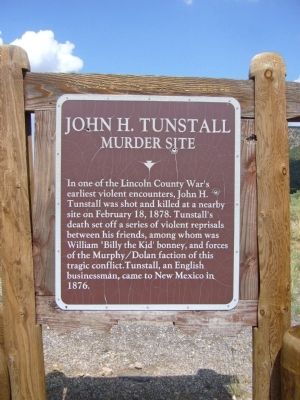
John H. Tunstall
Murder Site
Erected by New Mexico Historic Preservation Division.
Topics. This historical marker is listed in these topic lists: Industry & Commerce • Law Enforcement • Settlements & Settlers. A significant historical month for this entry is February 1931.
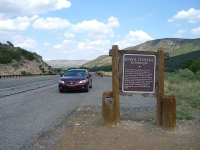
Location. 33° 24.535′ N, 105° 27.112′ W. Marker is in Glencoe, New Mexico, in Lincoln County. Marker is on U.S. 70 at milepost 273.5, on the right when traveling east. Touch for map. Marker is in this post office area: Glencoe NM 88324, United States of America. Touch for directions.
Other nearby markers. At least 8 other markers are within 7 miles of this marker, measured as the crow flies. John H. Tunstall Murder Site (approx. 3.2 miles away); American Merchant Marine Monuments (approx. 6.7 miles away); Murphy-Dolan Store (approx. 6.8 miles away); a different marker also named Murphy-Dolan Store (approx. 6.8 miles away); Lincoln (approx. 6.8 miles away); Site of Old Wortley Hotel (approx. 6.9 miles away); a different marker also named Lincoln (approx. 6.9 miles away); Lincoln Historic District (approx. 6.9 miles away).
Regarding John H. Tunstall. In February, 1878, Dolan and Murphy obtained a court order to seize some of Tunstall's horses as payment for an outstanding debt. When Tunstall refused to surrender the horses, Lincoln County Sheriff, William Brady, formed a posse led by Deputy William Morton to seize them. After protesting the presence of the posse on his land, Tunstall was shot in the head on February 18, 1878. This incident started what became known as the Lincoln County War.

Photographed By Bill Kirchner, July 24, 2011
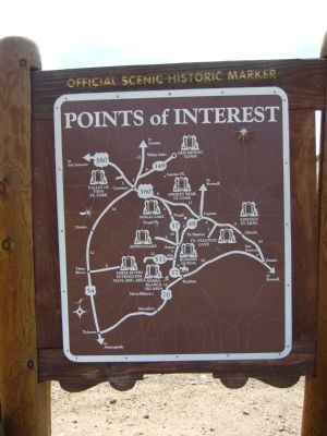
2. Back of: John H. Tunstall Marker
Points of Interest
New Mexico's Historic Markers typically have a map on the back side showing the location of other OSHM's. This is an excellent source of information when exploring for other Historical Markers and locations.
New Mexico's Historic Markers typically have a map on the back side showing the location of other OSHM's. This is an excellent source of information when exploring for other Historical Markers and locations.
Credits. This page was last revised on November 25, 2019. It was originally submitted on August 11, 2011, by Bill Kirchner of Tucson, Arizona. This page has been viewed 5,405 times since then and 177 times this year. Photos: 1, 2, 3. submitted on August 11, 2011, by Bill Kirchner of Tucson, Arizona. • Syd Whittle was the editor who published this page.

