
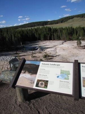
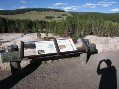
Volcanic Landscape
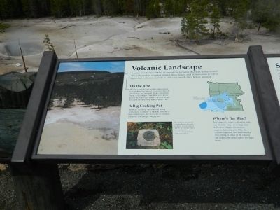
On the Rise
Magma is moving and pushing underground forcing the hill in front of you to rise! two of these bulges or "resurgent domes" have been found in the caldera. From here, you can see part of the Sour Creek dome - an oval-shaped hill about ten miles long and six miles wide.
A Big Cooking Pot
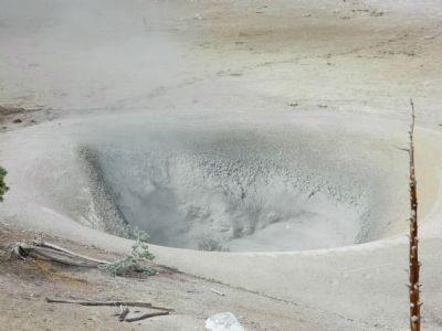
Bubbling, steaming, and churning within Yellowstone's caldera - a Spanish word for a large cooking pot - are thousands of mudpots, fumaroles, hot springs, and geysers.
Where's the Rim?
Yellowstone's caldera - 30 miles wide and 45 miles long - is so huge, it is difficult to imagine the massive eruption that created it! After the volcano exploded, lava continued to flow, filling in much of the caldera and making the crater and its rim hard to see.
Photo
By comparing new surveys with benchmark elevations, geologists have determined that the Yellowstone caldera is rising and falling as magma and hydrothermal fluids move below.
Topics.
this page online
Location. 44° 37.677′ N, 110° 25.997′ W. Marker is in Yellowstone National Park, Wyoming, in Park County. It is in Mammoth. It is on Grand Loop Road. Touch for map. Marker is in this post office area: Yellowstone National Park WY 82190, United States of America. Touch for directions.

Regionally, this marker is in the Bighorn Basin and in Greater Yellowstone. It is also in the American Mountain West and in the Lewis & Clark Corridor. Globally, it is in North America, the Rocky Mountains, the Western Hemisphere, the Western World, and the Anglosphere.
Other nearby markers. At least 8 other markers are within walking distance of this marker: Sulphur Caldron (here, next to this marker); Dragon's Mouth Spring (approx. ¼ mile away); Mud Volcano (approx. ¼ mile away); Cooking Hillside (approx. 0.3 miles away); Grizzly Fumarole (approx. 0.3 miles away); Mud Geyser (approx. 0.4 miles away); Churning Caldron (approx. half a mile away); Black Dragon’s Caldron (approx. half a mile away). Touch for a list and map of
Credits. This page was last revised on February 16, 2023. It was originally submitted on August 20, 2011, by Bill Pfingsten of Bel Air, Maryland. This page has been viewed 680 times since then and 21 times this year. Photos: 1. submitted on August 20, 2011, by Bill Pfingsten of Bel Air, Maryland. 2, 3. submitted on September 24, 2015, by Bill Coughlin of Woodland Park, New Jersey. 4. submitted on August 20, 2011, by Bill Pfingsten of Bel Air, Maryland.
