Near Amherst in Amherst County, Virginia — The American South (Mid-Atlantic)
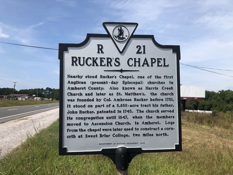
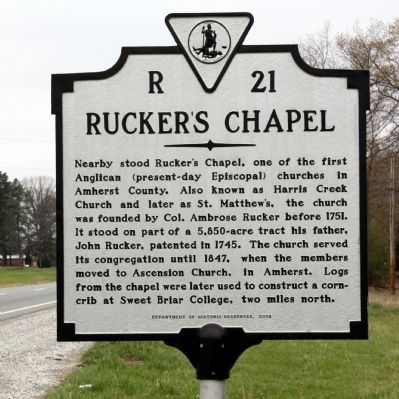
Ruckerís Chapel
Erected 2008 by Department of Historic Resources. (Marker Number R-21.)
Topics and series. This historical marker is listed in these topic lists: Churches & Religion • Colonial Era. In addition, it is included in the Virginia Department of Historic Resources (DHR) series list. A significant historical year for this entry is 1751.
Location. 37° 31.855′ N, 79° 6.117′ W. Marker is near Amherst, Virginia, in Amherst County. Marker is on South Amherst Highway (U.S. 29) south of North Coolwell Road (County Route 663), on the right when traveling south. Touch for map. Marker is at or near this postal address: 2053 S Amherst Hwy, Amherst VA 24521, United States of America. Touch for directions.
Other nearby markers. At least 8 other markers are within 5 miles of this marker, measured as the crow flies. James River Batteau (here, next to this marker); Sweet Briar House (approx. 2.1 miles away); Sweet Briar Plantation Slave Cabin (approx. 2.1 miles away); The Boxwood Alumnae House (approx. 2.1 miles away); Sweet Briar College (approx. 2.3 miles away); Bear Mountain Indian Mission School (approx. 3.2 miles away); The Amherst Depot (approx. 4.6 miles away); World War II Memorial (approx. 4.7 miles away). Touch for a list and map of all markers in Amherst.

Photographed By Devry Becker Jones (CC0), August 14, 2021
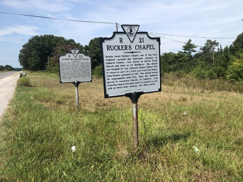
3. Ruckerís Chapel and James River Batteau markers
Credits. This page was last revised on August 15, 2021. It was originally submitted on August 21, 2011, by J. J. Prats of Powell, Ohio. This page has been viewed 843 times since then and 33 times this year. Photos: 1. submitted on August 15, 2021, by Devry Becker Jones of Washington, District of Columbia. 2. submitted on August 21, 2011, by J. J. Prats of Powell, Ohio. 3. submitted on August 15, 2021, by Devry Becker Jones of Washington, District of Columbia.

