Perryville in Boyle County, Kentucky — The American South (East South Central)
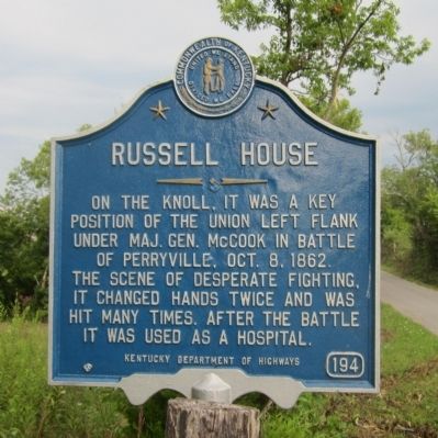
Russell House
Erected by Kentucky Department of Highways. (Marker Number 194.)
Topics and series. This historical marker is listed in this topic list: War, US Civil. In addition, it is included in the Kentucky Historical Society series list. A significant historical year for this entry is 1862.
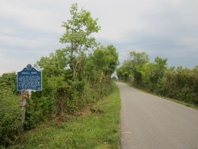
Location. 37° 40.108′ N, 84° 58.766′ W. Marker is in Perryville, Kentucky, in Boyle County. Marker is on Hays Mays Road, 0.1 miles east of Whites Road, on the left when traveling west. Touch for map. Marker is in this post office area: Perryville KY 40468, United States of America. Touch for directions.
Other nearby markers. At least 8 other markers are within walking distance of this marker. The John C. Russell House (about 500 feet away, measured in a direct line); George P. Webster's Brigade (about 600 feet away); The Slaughter Pen (about 600 feet away); Illinois Soldiers at Perryville (about 700 feet away); General Polk Behind Enemy Lines (about 700 feet away); Dixville Crossroads (about 700 feet away); Harris' Battery (about 700 feet away); 80th Indiana (approx. 0.2 miles away). Touch for a list and map of all markers in Perryville.
Credits. This page was last revised on April 29, 2021. It was originally submitted on August 21, 2011, by Bernard Fisher of Richmond, Virginia. This page has been viewed 985 times since then and 24 times this year. Photos: 1, 2. submitted on August 21, 2011, by Bernard Fisher of Richmond, Virginia.

