Perryville in Boyle County, Kentucky — The American South (East South Central)
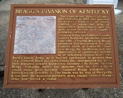
Bragg's Invasion of Kentucky
General Kirby Smith entered southeastern Kentucky advancing toward Louisville. General Braxton Bragg advanced northwestward to join General Smith at Louisville. General Bragg by vacillation lost the opportunity of capturing Louisville or of defeating General Don Carlos Buell’s Union Army as it hurried northward to protect that city. General Buell occupied Louisville, reorganized his army, then marched toward Bardstown October 1 to locate General Bragg. Laboring under the delusion that the Union force would strike near Versailles, General Bragg withdrew from Bardstown on October 3. The route was by way of Perryville. It was here the powerful northern army caught General Bragg’s army and forced a stand.
Topics. This historical marker is listed in this topic list: War, US Civil. A significant historical date for this entry is October 1, 1987.
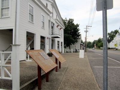
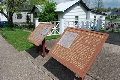
Location. 37° 38.961′ N, 84° 57.098′ W. Marker is in Perryville, Kentucky, in Boyle County. Marker is at the intersection of South Buell Street (U.S. 68) and West Third Street, on the left when traveling south on South Buell Street. Located in front of the Perryville Police Department. Touch for map. Marker is at or near this postal address: 502 South Buell Street, Perryville KY 40468, United States of America. Touch for directions.
Other nearby markers. At least 8 other markers are within walking distance of this marker. The Battle of Perryville (here, next to this marker); The City of Perryville (a few steps from this marker); “If You Meet the Enemy, Overpower Him” (a few steps from this marker); Perryville in the Crucible of War (within shouting distance of this marker); Merchants' Row / Street Fighting (about 300 feet away, measured in a direct line); a different marker also named Battle of Perryville (about 400 feet away); Karrick-Parks House / Harberson's Station (about 500 feet away); First Settlement of Perryville (about 500 feet away). Touch for a list and map of all markers in Perryville.
Credits. This page was last revised on April 29, 2021. It was originally submitted on August 23, 2011, by Bernard Fisher of Richmond, Virginia. This page has been viewed 942 times since then and 27 times this year. Photos: 1, 2. submitted on August 23, 2011, by Bernard Fisher of Richmond, Virginia. 3. submitted on September 15, 2015, by Brandon Fletcher of Chattanooga, Tennessee.


