What You Can See From Here Today
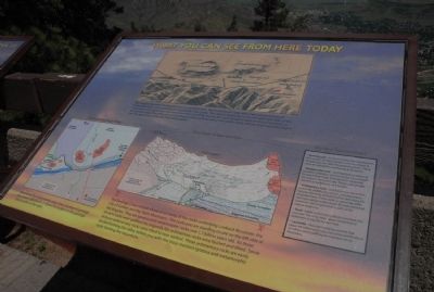
•Geologic Cross-section. A Geologic Cross-section shows a cut-away of the rocks underlying Lookout Mountain, the City of Golden, and the Table Mountains. The rocks you are standing on are on the left side of the diagram. They are igneous and metamorphic rocks over 1.7 billion years old. As these ancient rocks were uplifted, the originally flat sedimentary rocks were faulted and tilted. Some of these sedimentary rocks were tilted to near vertical. These sedimentary rocks
this page online
•Do You Remember?
•Igneous rock-a rock formed by the crystallization from a melt. Includes granite in the mountains to the west and the Table Mountain lava flows. These rocks are resistant to weathering and erosion.
•Metamorphic rock-rock that did not melt and formed by alterations of preexisting rocks at depths by heat and pressure. Includes the rock around the museum and grave site. These rocks are also resistant to weathering and erosion.
•Sedimentary rock-rock formed on the earth’s surface by weathering, erosion, and deposition. Includes the rocks beneath Golden and along the mountain front. These rocks are generally softer and more easily eroded, except for well-cemented sandstone and conglomerates such as the Dakota Hogbacks.
•Fault-break in rock along which movement has occurred. There has been about 10,000 feet of movement along the Golden Fault.
•Laramide-mountain building episode that began 68 million years ago and continued for about 25 million years, uplifting the Colorado Rocky Mountains.
Topics.
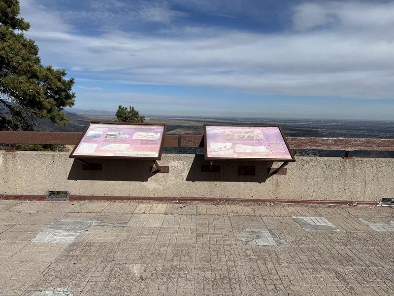
Location. 39° 44.025′ N, 105° 14.335′ W. Marker is near Golden, Colorado, in Jefferson County. It is in Lakota Hills. It can be reached from Lariat Loop Road. Marker is located at overlook in parking lot at the Buffalo Bill Memorial Museum. Touch for map. Marker is in this post office area: Golden CO 80401, United States of America. Touch for directions.

Regionally, this marker is in the Front Range. It is also in the American Mountain West. Globally, it is in North America, the Rocky Mountains, the Western Hemisphere, the Western World, and the Anglosphere. Historically, it finds itself in what was once the Louisiana Purchase.
Other nearby markers. At least 8 other markers are within walking distance of this marker: Our Changing Landscape-From Sea Floor to Mountain Top (here, next to this marker); Who Was Buffalo Bill? (within shouting distance of this marker); Lariat Loop Byway: Buffalo Bill Museum (within shouting distance of this marker); Lariat Loop Byway: Denver Mountain Parks (within shouting distance of this marker); Buffalo Bill's Grave — Frequently Asked Questions (about 400 feet away); Buffalo Bill's Grave — Why is Buffalo Bill Buried Here? (about 500 feet away); Buffalo Bill (about 500 feet away); Windy Saddle Park / Connecting to the Past (approx. 0.4 miles away). Touch for a list and map of all markers in Golden.
Another marker is no longer nearby. In Memory of Charles E. Kirk (was about 300 feet away, measured in a direct line but has been confirmed missing).
Credits. This page was last revised on November 18, 2025. It was originally submitted on August 24, 2011, by Charles T. Harrell of Woodford, Virginia. This page has been viewed 985 times since then and 17 times this year. Photos: 1. submitted on August 24, 2011, by Charles T. Harrell of Woodford, Virginia. 2. submitted on November 2, 2025, by Leslie Eudy of Golden, Colorado. • Bill Pfingsten was the editor who published this page.
