Townsend in Blount County, Tennessee — The American South (East South Central)
Tuckaleechee Villages
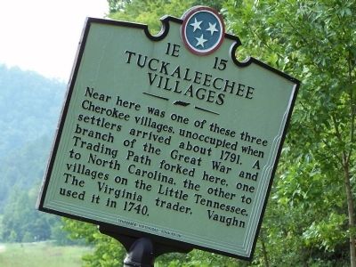
Photographed by David J Gaines, August 3, 2011
1. Tuckaleechee Villages Marker
Erected by Tennessee Historical Commission. (Marker Number 1E 15.)
Topics and series. This historical marker is listed in this topic list: Indigenous Peoples and Communities. In addition, it is included in the Tennessee Historical Commission series list. A significant historical year for this entry is 1791.
Location. 35° 40.839′ N, 83° 47.162′ W. Marker is in Townsend, Tennessee, in Blount County. It is on US Hwy 321 0.1 miles east of Old Tuckaleechee Road, on the right when traveling north. Touch for map. Marker is in this post office area: Townsend TN 37882, United States of America. Touch for directions.

Regionally, this marker is in East Tennessee, in the Great Smoky Mountains, and in Greater Knoxville. It is also in the American South, specifically in the Upper South, in Appalachia, and specifically in Southern Appalachia. Globally, it is in
this page online
Other nearby markers. At least 8 other markers are within 8 miles of this marker, measured as the crow flies: The Little River Lumber Company (approx. 1.9 miles away); On this site August 17, 1915 (approx. 2½ miles away); John Mitchel (approx. 3 miles away); Gamble's Station (approx. 3.8 miles away); Independent But Not Isolated (approx. 5½ miles away); Civilian Conservation Corps (approx. 5½ miles away); Timber to Tourism (approx. 7 miles away); Site of Fort Gamble (approx. 7.1 miles away). Touch for a list and map of all markers in Townsend.
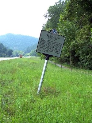
Photographed by David J Gaines, August 3, 2011
2. Tuckaleechee Villages Marker
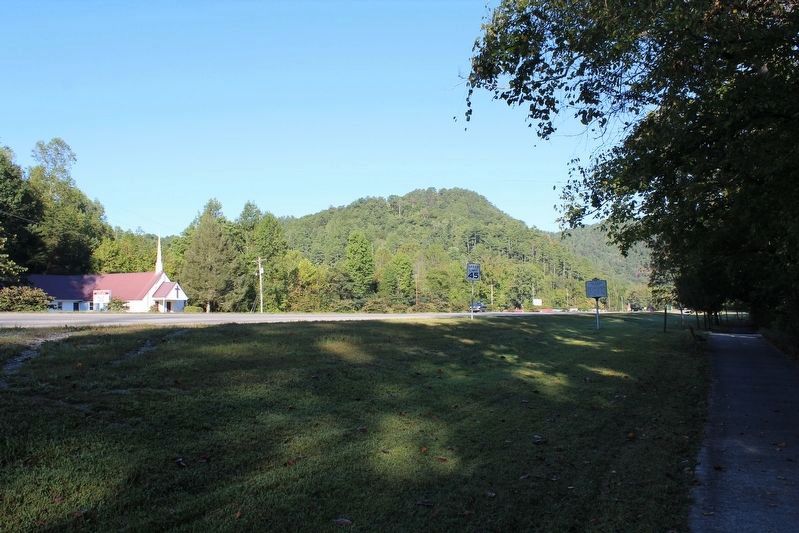
Photographed by Tom Bosse, September 24, 2016
3. Tuckaleechee Villages Marker
Credits. This page was last revised on December 15, 2016. It was originally submitted on August 25, 2011, by David J Gaines of Pinson, Alabama. This page has been viewed 2,015 times since then and 152 times this year. Photos: 1, 2. submitted on August 25, 2011, by David J Gaines of Pinson, Alabama. 3. submitted on December 10, 2016, by Tom Bosse of Jefferson City, Tennessee. • Bill Pfingsten was the editor who published this page.
