Historic District in St. Augustine in St. Johns County, Florida — The American South (South Atlantic)
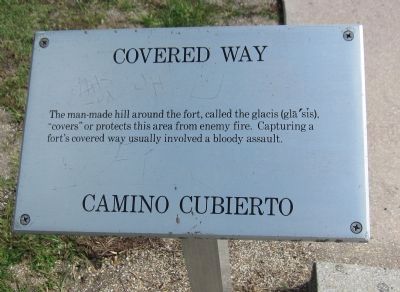
Covered Way
Camino Cubierto
Topics. This historical marker is listed in these topic lists: Colonial Era • Forts and Castles.
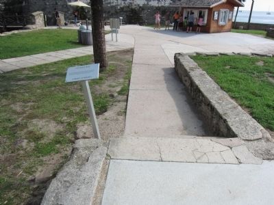
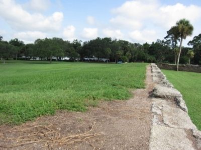
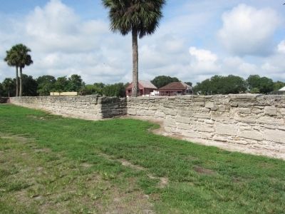
Location. 29° 53.832′ N, 81° 18.675′ W. Marker is in St. Augustine, Florida, in St. Johns County. It is in the Historic District. Marker is on South Castillo Drive (State Road A1A), on the right when traveling north. Located outside the Castillo de San Marcos. Touch for map. Marker is at or near this postal address: 11 S Castillo Dr, Saint Augustine FL 32084, United States of America. Touch for directions.
Other nearby markers. At least 8 other markers are within walking distance of this marker. Crumbling Coquina / Piedra frágil (a few steps from this marker); Spanish Stronghold / Ciudadela española (a few steps from this marker); Multi-Use Moat / ¿Un foso sin agua? (within shouting distance of this marker); Sentry Box (within shouting distance of this marker); Fort Marion (within shouting distance of this marker); Weapons of War / Artillería (within shouting distance of this marker); The Cross of Burgundy: Symbol of Spain (within shouting distance of this marker); Guarding the Back Door / Vigilando dos entradas (within shouting distance of this marker). Touch for a list and map of all markers in St. Augustine.
Also see . . . Castillo de San Marcos National Monument. NPS website. (Submitted on August 26, 2011, by Craig Swain of Leesburg, Virginia.)
Credits. This page was last revised on January 2, 2019. It was originally submitted on August 26, 2011, by Craig Swain of Leesburg, Virginia. This page has been viewed 632 times since then and 23 times this year. Photos: 1, 2, 3, 4. submitted on August 26, 2011, by Craig Swain of Leesburg, Virginia.


