St. Johns Bluff in Jacksonville in Duval County, Florida — The American South (South Atlantic)
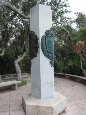
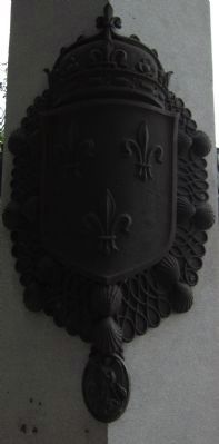
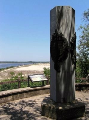
Ribault Monument
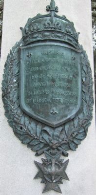
(Front):
This is a replica of the marker placed on or near this spot by Jean Ribaut May First 1562 in taking possession of Florida for France.
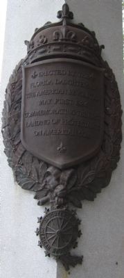
(Back):
Erected by the Florida Daughters of the American Revolution May First 1924 commemorating the first landing of protestants on American soil.
Erected 1924 by Florida Daughters of the American Revolution.
Topics and series. This historical marker and monument is listed in these topic lists: Churches & Religion • Colonial Era • Settlements & Settlers. In addition, it is included in the Daughters of the American Revolution series list. A significant historical year for this entry is 1562.
Location. 30° 23.292′ N, 81° 29.367′ W. Marker is in Jacksonville, Florida, in Duval County. It is in St. Johns Bluff. Marker can be reached from Ft. Caroline Road, on the left when traveling east. Located at the overlook for the Ribault Memorial (accessed from a driveway off Ft. Caroline Road) in the Timucuan Ecological and Historic Preserve. Touch for map. Marker is in this post office area: Jacksonville FL 32225, United States of America. Touch for directions.
Other nearby markers. At least 8 other markers are within walking distance of this marker. New France (here, next to this marker); Timucuan Preserve (here, next to this marker); Staking a Claim (within shouting distance of this marker); Spanish Pond (approx. half a mile away); The River of May (approx. half a mile away); Timucuan Friends (approx. 0.6 miles away); The Building of la Caroline (approx. 0.6 miles away); Fort de la Caroline (approx. 0.7 miles away). Touch for a list and map of all markers in Jacksonville.
Also see . . .
1. Ribault Monument. Originally this marker stood further east at Mayport. When a naval airstation was established there in 1941 the marker was relocated to allow public access. Over the years the marker moved several times until finally placed in the park at an overlook. (Submitted on August 27, 2011, by Craig Swain of Leesburg, Virginia.)
2. Ribault Monument- A Marker of French Exploration. The monument, high atop St. Johns Bluff, commemorates a similar marker placed nearly 450 years ago by the French explorer Jean Ribault. (Submitted on January 21, 2013.)
Credits. This page was last revised on February 3, 2023. It was originally submitted on August 27, 2011, by Craig Swain of Leesburg, Virginia. This page has been viewed 959 times since then and 14 times this year. Photos: 1, 2, 3, 4. submitted on August 27, 2011, by Craig Swain of Leesburg, Virginia. 5. submitted on March 7, 2012, by PaulwC3 of Northern, Virginia.
