Near Daviston in Tallapoosa County, Alabama — The American South (East South Central)
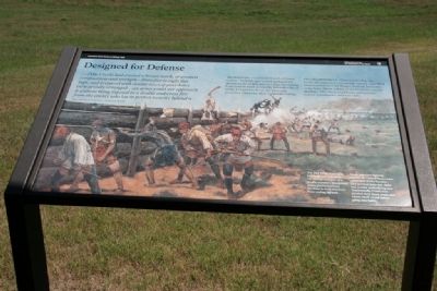
Designed for Defense
Horseshoe Bend National Military Park
— National Park Service, U.S. Department of the Interior —
...[The Creek] had erected a breast-work, of greatest compactness and strength-from five to eight feet high, and prepared with double rows of port-holes very artfully arranged...an army could not approach it without being exposed to a double and cross fire from the enemy who lay in perfect security behind it.
Maj. Gen. Andrew Jackson, Tennessee Militia
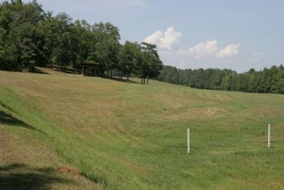
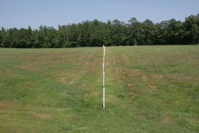
The Red Sticks-a militant branch of Creek society-built the 400-yard-long barricade (breast-work) of dirt and pine logs. Stretching from bank to bank across the horseshoe bend of the Tallapoosa River, the barricade protected Tohopeka, their temporary village.
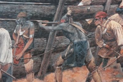
On a dreadful March afternoon in 1814, the barricade exploded with action. Nearly 1,000 Red Stick warriors bravely fought General Jackson's army here. About a third of the warriors carried muskets. The others used bows and arrows, knives, tomahawks, and war clubs.
Erected by National Park Service, U.S. Department of the Interior.
Topics and series. This historical marker is listed in these topic lists: Native Americans • Wars, US Indian. In addition, it is included in the Former U.S. Presidents: #07 Andrew Jackson series list. A significant historical year for this entry is 1814.
Location. 32° 58.502′ N, 85° 44.135′ W. Marker is near Daviston, Alabama, in Tallapoosa County. Marker can be reached from Battlefield Park Tour Road, on the left. Touch for map. Marker is at or near this postal address: 11288 Horseshoe Bend Road, Daviston AL 36256, United States of America. Touch for directions.
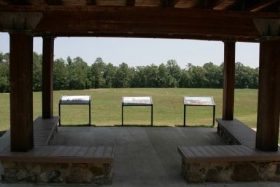
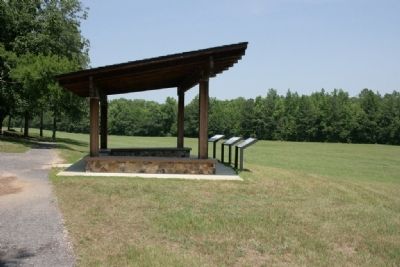
Other nearby markers. At least 8 other markers are within walking distance of this marker. While the Long Roll Was Beating (here, next to this marker); Charge! (here, next to this marker); Major Lemuel P. Montgomery (within shouting distance of this marker); Jackson Trace (within shouting distance of this marker); Horseshoe Bend Battleground Monument (about 300 feet away, measured in a direct line); Gun Hill (about 300 feet away); Futile Escape (approx. 0.2 miles away); They Fought to the Last (approx. 0.2 miles away). Touch for a list and map of all markers in Daviston.
Regarding Designed for Defense.
Tour Stop # 2 The Barricade
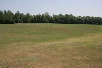
The log breastwork the Red Sticks built across the peninsula was, Jackson wrote, “eighty-poles in length, from five to eight feet high & of remarkable compactness & strength….” It was “prepared with double rows of Port Holes well formed & skillfully arranged, [and] was of such a figure that an Army could not approach it, without being exposed to a cross fire.” Just before the battle, Jackson placed two small cannon here, a 3-pounder and a 6-pounder, trained on the barricade. About 10:30 a.m.,
he “opened a brisk fire upon its centre; but altho the balls which passed through, killed several of the enemy, they were not disbursed, nor was any important damage done to the works.” Finally, at 12:30 p.m., Jackson ordered a frontal attack of the Creek position.
Surging forward, his troops quickly overran the barricade and, after vicious hand-to-hand fighting, drove the Red Sticks down the peninsula toward Coffee’s mounted infantry and Indian allies. “The event could no longer be in doubt,” Jackson would later write. “The enemy altho many of them fought to the last with the kind of bravery desperation inspires, were at last entirely routed and cut to pieces. The whole margin of the river which surrounded the peninsula was strewed with the slain.
From Horseshoe Bend National Military Park Map and Guide Brochure
Also see . . . Horseshoe Bend National Military Park. (Submitted on August 30, 2011, by Timothy Carr of Birmingham, Alabama.)
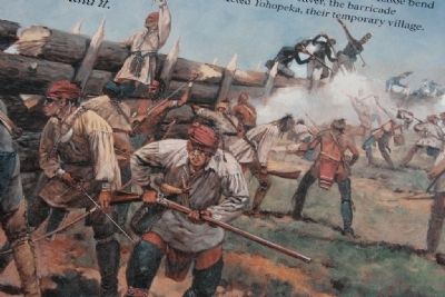
Photographed By TRCP Alliance, June 16, 2011
7. The Defending Red Sticks.
Creek warriors fighting against the United States were called Red Sticks because they painted their war clubs red, a color symbolizing war. Traditionally, Creek men painted their faces, arms, and chests black or red before going into battle.
Credits. This page was last revised on September 29, 2019. It was originally submitted on August 30, 2011, by Timothy Carr of Birmingham, Alabama. This page has been viewed 1,028 times since then and 17 times this year. Photos: 1, 2, 3, 4, 5, 6, 7, 8. submitted on August 30, 2011, by Timothy Carr of Birmingham, Alabama. • Bill Pfingsten was the editor who published this page.
