Historic District in St. Augustine in St. Johns County, Florida — The American South (South Atlantic)
Plaza de la Constitución
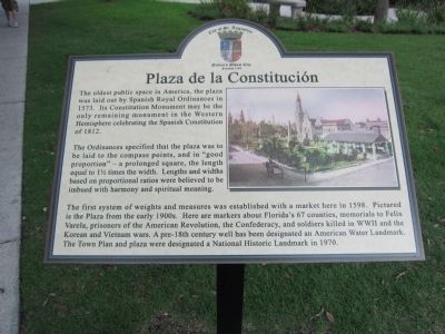
The oldest public space in America, the plaza was laid out by Spanish Royal Ordinances in 1573. Its Constitution Monument may be the only remaining monument in the Western Hemisphere celebrating the Spanish Constitution of 1812.
The Ordinances specified that the plaza was to be laid to the compass points, and in "good proportion" - a prolonged square, the length equal to 1½ times the width. Lengths and widths based on proportional ratios were believed to be imbued with harmony and spiritual meaning.
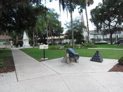
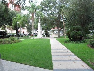
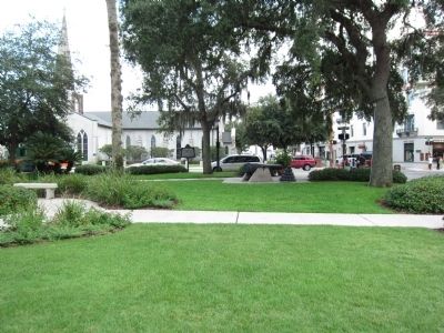
The first system of weights and measures was established with a market here in 1598. Pictured is the Plaza from the early 1900s. Here are markers about Florida's 67 counties, memorials to Felix Varela, prisoners of the American Revolution, the Confederacy, and soldiers killed in WWII and the Korean and Vietnam wars. A pre-18th century well has been designated an American Water Landmark. The Town Plan and plaza were designated a National Historic Landmark in 1970.
Erected by City of St. Augustine.
Topics. This historical marker is listed in this topic list: Colonial Era. A significant historical year for this entry is 1573.
Location. 29° 53.555′ N, 81° 18.76′ W. Marker is in St. Augustine, Florida, in St. Johns County. It is in the Historic District. Marker is at the intersection of Cathedral Plaza and St. George Street, on the left when traveling west on Cathedral Plaza. Located in the Plaza de la Constitucion. Touch for map. Marker is at or near this postal address: 42 King St, Saint Augustine FL 32084, United States of America. Touch for directions.
Other nearby markers. At least 8 other markers are within walking distance of this marker. 8 inch Columbiad (here, next to this marker); Government House: Legacy of Authority (a few steps from this marker); Constitution Monument (a few steps from this marker); Balcón de los Reyes (a few steps from this marker); Coquina in These Walls (a few steps from this marker); Cathedral Basilica of St. Augustine (a few steps from this marker); Andrew Young Crossing (a few steps from this marker); Government House and the Plaza (within shouting distance of this marker). Touch for a list and map of all markers in St. Augustine.
Credits. This page was last revised on January 2, 2019. It was originally submitted on September 3, 2011, by Craig Swain of Leesburg, Virginia. This page has been viewed 1,178 times since then and 57 times this year. Photos: 1, 2, 3, 4. submitted on September 3, 2011, by Craig Swain of Leesburg, Virginia.


