Near Spring Branch in Comal County, Texas — The American South (West South Central)
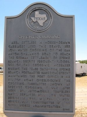
Specht's Crossing
Erected 1993 by Texas Historical Commission. (Marker Number 5006.)
Topics. This historical marker is listed in these topic lists: Bridges & Viaducts • Roads & Vehicles • Settlements & Settlers. A significant historical year for this entry is 1920.
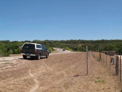
Location. 29° 52.925′ N, 98° 27.033′ W. Marker is near Spring Branch, Texas, in Comal County. Marker is at the intersection of Spring Branch Road and Old Spring Branch Road, on the right when traveling east on Spring Branch Road. Touch for map. Marker is at or near this postal address: 7200 Spring Branch Rd, Spring Branch TX 78070, United States of America. Touch for directions.
Other nearby markers. At least 8 other markers are within 9 miles of this marker, measured as the crow flies. Adam Becker Homestead (approx. 0.9 miles away); Spring Branch Post Office (approx. 1.3 miles away); Herman and Ada Knibbe House (approx. 1˝ miles away); Esser's Crossing at Wesson (approx. 4.6 miles away); George Wilkins Kendall (approx. 7.4 miles away); Kendalia Community Church (approx. 7.6 miles away); The Engel Store (approx. 8.4 miles away); Saint Mary's Help of Christians Catholic Church (approx. 8˝ miles away). Touch for a list and map of all markers in Spring Branch.

Photographed By Richard Denney
3. Original Crossing
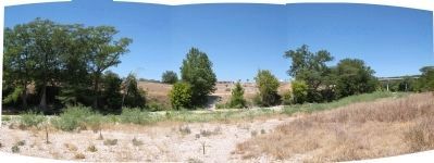
The actual old crossing is a little ways downstream from the bridge ( lat/long 29.879965,-98.448186 ) shown here in this panorama from the other side of river (marker is on west bank; photo from east bank). Bridge is visible in distance, right side of photo.
Credits. This page was last revised on June 16, 2016. It was originally submitted on September 7, 2011, by Richard Denney of Austin, Texas. This page has been viewed 1,297 times since then and 24 times this year. Photos: 1, 2, 3. submitted on September 7, 2011, by Richard Denney of Austin, Texas. • Bernard Fisher was the editor who published this page.

