Governors Island in Manhattan in New York County, New York — The American Northeast (Mid-Atlantic)
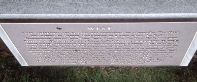
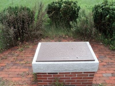
West
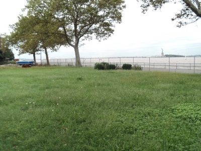
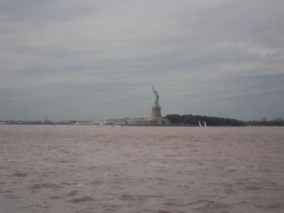
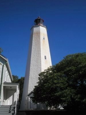
“The Lighthouse Act of 1790 was sponsored by Alexander Hamilton and signed by George Washington at a time when the Federal Government capital was New York City. On the New York and New Jersey coastlines stand many historical lighthouses, monuments to early Coast Guard navigation and search-and-rescue history. The lighthouse at Sandy Hook, built in 1764, was one of the first to be constructed in the New World. Squan Beach, N.J., was the site of the rescue of 201 people from the British Bark Ayrshire. Robbins Reef light, in New York Harbor, is noted for having had the only female lighthouse keeper in the harbor. The Statue of Liberty’s lighted torch is still used as a navigation aid, guiding ships into port. The first lighted buoys used to mark shipping channels were deployed in New York Harbor. Coast Guard buoy tenders and icebreakers have long kept the Hudson River navigable and open to commercial shipping.”
Topics and series. This historical marker is listed in this topic list: Waterways & Vessels. In addition, it is included in the Lighthouses series list. A significant historical year for this entry is 1790.
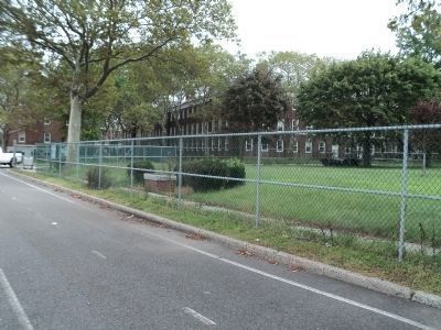
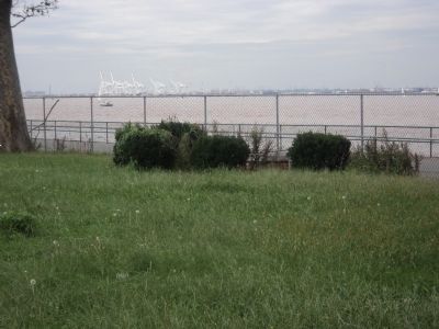
Location. 40° 41.427′ N, 74° 1.299′ W. Marker is in Manhattan, New York, in New York County. It is on Governors Island. Marker is at the intersection of Craig Road and Division Road, on the left when traveling south on Craig Road. Marker is located on Governors Island. Touch for map. Marker is in this post office area: New York NY 10004, United States of America. Touch for directions.
Other nearby markers. At least 8 other markers are within walking distance of this marker. Ellis Island (about 600 feet away, measured in a direct line); Wheeler Avenue (about 700 feet away); Flight on Governors Island (about 700 feet away); McKim, Meade & White, Architects of Governors Island (about 800 feet away); The Early Birds (about 800 feet away); Demolition on South Island (approx. 0.2 miles away); Coast Guard Housing (approx. 0.2 miles away); Liggett Hall (approx. 0.2 miles away). Touch for a list and map of all markers in Manhattan.
Also see . . . Governors Island National Monument. National Park Service website. (Submitted on September 11, 2011, by Bill Coughlin of Woodland Park, New Jersey.)
Credits. This page was last revised on January 31, 2023. It was originally submitted on September 11, 2011, by Bill Coughlin of Woodland Park, New Jersey. This page has been viewed 432 times since then and 30 times this year. Photos: 1, 2, 3, 4, 5, 6, 7. submitted on September 11, 2011, by Bill Coughlin of Woodland Park, New Jersey.
