Marshfield in Plymouth County, Massachusetts — The American Northeast (New England)
Daniel Webster Tablet
Photographed by Russell C. Bixby, September 9, 2013
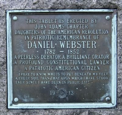
1. Daniel Webster Tablet
John Adams Chapter
Daughters of the American Revolution
In patriotic remembrance
Daniel Webster
1782-1852
Peerless debator, a brilliant orator
A profound constitutional lawyer
A patriotic American citizen
"I pray to know who is to put beneath my feet
a freer soil than that upon which I have stood
ever since I have been in public life"
Erected 1913 by Daughters of the American Revolution.
Topics and series. This historical marker is listed in these topic lists: Colonial Era • Fraternal or Sororal Organizations • Patriots & Patriotism. In addition, it is included in the Daughters of the American Revolution (DAR) series list.
Location. 42° 5.498′ N, 70° 42.598′ W. Marker is in Marshfield, Massachusetts, in Plymouth County. It is at the intersection of Ocean Street (Massachusetts Route 139) and Moraine Road ( Route 3A), on the left when traveling west on Ocean Street. Touch for map. Marker is in this post office area: Marshfield MA 02050, United States of America. Touch for directions.

Regionally, this
this page online
Other nearby markers. At least 8 other markers are within 2 miles of this marker, measured as the crow flies: Old Marshfield Training Field (here, next to this marker); First Church of Marshfield (within shouting distance of this marker); Marshfield Veterans of the American Revolution (about 300 feet away, measured in a direct line); Tea Rock Hill (about 700 feet away); Ford Mill (approx. half a mile away); Edward Winslow (approx. 1½ miles away); Site of First Church (approx. 1½ miles away); Early Settlers at Green Harbor Marshfield (approx. 1½ miles away). Touch for a list and map of all markers in Marshfield.
Photographed by Russell C. Bixby, September 9, 2011
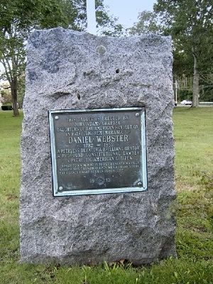
2. Daniel Webster Tablet Marker
Library of Congress
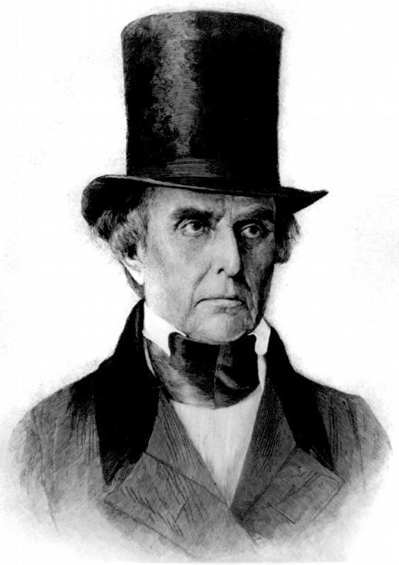
3. Daniel Webster
c. 1885 by T. Johnson from a daguerreotype.
Photographed by G.W.Bartlett, July 5, 2026
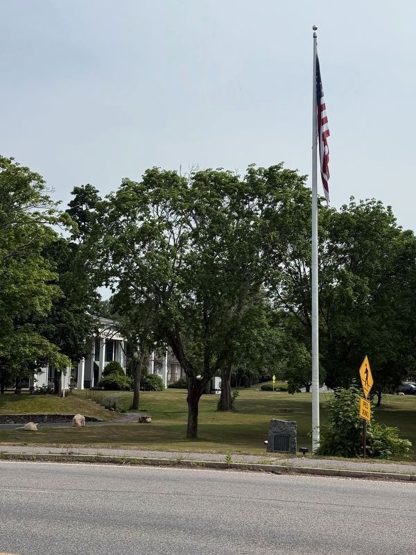
4. Daniel Webster Tablet Marker
Credits. This page was last revised on July 9, 2026. It was originally submitted on September 11, 2011, by Russell Chaffee Bixby of Bernardston, Massachusetts. This page has been viewed 841 times since then and 42 times this year. Photos: 1. submitted on September 11, 2011, by Russell Chaffee Bixby of Bernardston, Massachusetts. 2. submitted on September 12, 2011, by Russell Chaffee Bixby of Bernardston, Massachusetts. 3. submitted on February 7, 2019, by Allen C. Browne of Silver Spring, Maryland. 4. submitted on July 5, 2026, by G.W.Bartlett of Hingham, Massachusetts. • Bill Pfingsten was the editor who published this page.
