Topsfield in Essex County, Massachusetts — The American Northeast (New England)
Parson Capen House
Photographed by Michael Tiernan, August 18, 2011
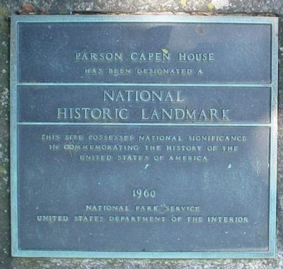
1. Parson Capen House Marker
has been designated a
National Historc Landmark
This site possesses national signficance
in commemorating the history of the
United States of America
Erected 1960.
Topics and series. This historical marker is listed in these topic lists: Colonial Era • Settlements & Settlers. In addition, it is included in the National Historic Landmarks series list.
Location. 42° 38.599′ N, 70° 56.983′ W. Marker is in Topsfield, Massachusetts, in Essex County. It is on Howlett Street, on the right when traveling north. Marker is actually located on a rock on the side of the parking lot and may be semi hidden by overgrown bush next to it. Touch for map. Marker is at or near this postal address: 1 Howlett Street, Topsfield MA 01983, United States of America. Touch for directions.

Regionally, this marker is on Massachusetts’ North Shore, in Greater Boston, and in the Merrimack Valley. It is also in the American Northeast, in New England, and on the Eastern Seaboard. Globally, it is in the North Atlantic Region, North America, the Western Hemisphere,
this page online
Other nearby markers. At least 8 other markers are within 5 miles of this marker, measured as the crow flies: Boxford Korea and Vietnam Service Memorial (approx. 2.7 miles away); Wenham (approx. 4.2 miles away); First Town Meeting (approx. 4.3 miles away); Site of Camp Lander (approx. 4.4 miles away); a different marker also named Wenham (approx. 4.4 miles away); National Historic Landmark (approx. 4½ miles away); The Danvers State Hospital (approx. 4.6 miles away); The Institution (approx. 4.6 miles away).
Another marker is no longer nearby. Parson Capen House (was approx. 0.6 miles away but has been confirmed missing).
Photographed by Michael Tiernan, August 18, 2011
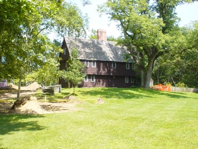
2. Parson Capen House
Some construction is being done on the site at the time of these photos (Aug/2011).
Photographed by Michael Tiernan, August 18, 2011
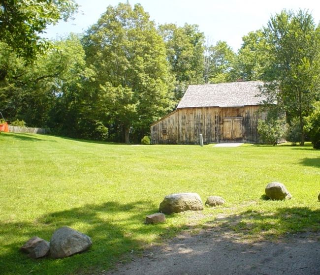
3. Parson Capen House out building
This building is next to the house itself.
Photographed by Michael Tiernan
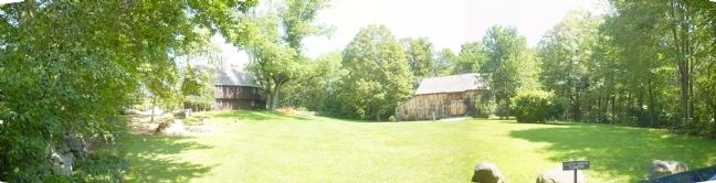
4. Parson Capen House synthetic panoramic view.
This shows the property from the parking lot. I stitched together three of my photos to create this.
Credits. This page was last revised on October 8, 2020. It was originally submitted on September 15, 2011, by Michael Tiernan of Danvers, Massachusetts. This page has been viewed 874 times since then and 26 times this year. Photos: 1, 2, 3, 4. submitted on September 15, 2011, by Michael Tiernan of Danvers, Massachusetts. • Bill Pfingsten was the editor who published this page.
