Yosemite Valley's First Visit by White Men
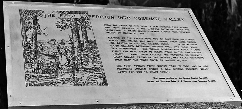
Alarmed by the encroaching tide of California Gold Rush miners, the Indians who made Yosemite their home raided and destroyed foothill trading posts. In retaliation, Major Savage's battalion pursued them into their mountain stronghold. After a long fight the Indians surrendered and were taken to reservations in the San Joaquin Valley. Many later escaped and returned to Yosemite. Major Savage, friend of the Indians, was killed defending them near Kings River on August 16, 1852.
The first tourist party visited here in 1853 and in 1864 President Lincoln signed a bill setting Yosemite Valley apart for you to enjoy today.
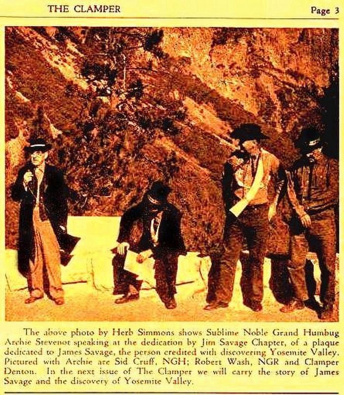
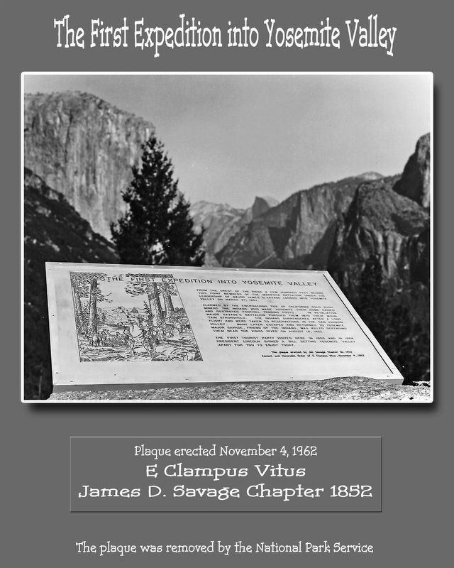
Erected 1962 by Jim Savage Chapter 182, E Clampus Vitus. (Marker Number 4.)
Topics and series. This historical marker is listed in these topic lists: Natural Features • Notable Places • Wars, US Indian. In addition, it is included in the E Clampus Vitus, and the Former U.S. Presidents: #16 Abraham Lincoln series lists. A significant historical month for this entry is March 1890.
Location. Marker is missing.
Other nearby markers. At least 8 other markers are within 2 miles of this location, measured as the crow flies. Rewards of Travel (about 300 feet away, measured in a direct line); President Theodore Roosevelt & John Muir Meeting Site (approx. one mile away); Disappearing Waterfalls (approx. 1.4 miles away); Glaciers at the Gate (approx. 1.6 miles away); El Capitan (approx. 1.6 miles away); A Varied View (approx. 1.6 miles away); A View Through Time (approx. 1.6 miles away); The Journey to Yosemite (approx. 2 miles away).
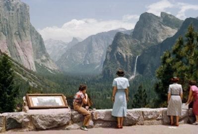
More about this marker. The Brass marker erected in 1962 was removed by the Yosemite Historical Society president in 1969 when she decided to put her own marker in its place. The ECV marker was not returned to E Clampus Vitus, nor was it ever seen again. A later renovation of the East View location outside the tunnel resulted in the removal of the second marker as well. Many informational
Regarding Yosemite Valley's First Visit by White Men. The Indian Scouts led the Mariposa Battalion over the ridge and prodded their horses on down the narrow path, but the men behind them stopped and stared in awe at what they saw. It was the first time a non-native had viewed the valley and the majestic peaks and waterfalls. To the scouts, it was just another trip into the valley, to the men behind them, it was a new discovery and a view unrivaled in their travels.
Also see . . .
1. One Hundred Years in Yosemite. Muster Roll of a Volunteer Battalion under the command of Major James D. Savage, mustered into the service of the State of California by James Burney, Sheriff of Mariposa, pursuant to an order from his excellency, the Governor of the State of California, bearing date January 24, 1851, at Aqua Frio, February 10, 1851: (Submitted on September 21, 2011, by Lester J Letson of Fresno, California.)
2. James D. Savage, Indian Fighter, and Explorer of Yosemite Valley. Chapter III from Pathways: A Story of Trails and Men (1968), by John W. Bingaman (Submitted on September 21, 2011.)
Credits. This page was last revised on April 16, 2019. It was originally submitted on September 21, 2011, by Lester J Letson of Fresno, California. This page has been viewed 1,173 times since then and 30 times this year. Photos: 1. submitted on April 11, 2019, by Lester J Letson of Fresno, California. 2. submitted on September 21, 2011, by Lester J Letson of Fresno, California. 3. submitted on April 1, 2017, by Lester J Letson of Fresno, California. 4. submitted on April 11, 2019, by Lester J Letson of Fresno, California. • Syd Whittle was the editor who published this page.
Editor’s want-list for this marker. • Current photos of Yosemite Valley and Half Dome as seen from the marker site. • Can you help?


