Near Levert in Allen County, Indiana — The American Midwest (Great Lakes)
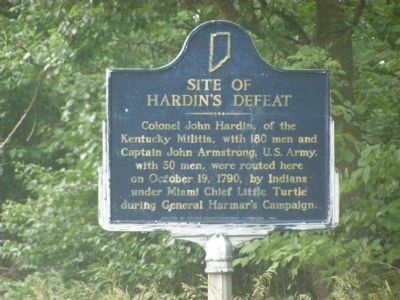
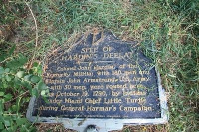
Site of Hardinís Defeat
Erected 1966 by Indiana Sesquicentennial Commission, Indiana Historical Bureau. (Marker Number 02.1966.1.)
Topics and series. This historical marker is listed in these topic lists: Native Americans • Settlements & Settlers • War, US Revolutionary. In addition, it is included in the Indiana Historical Bureau Markers series list. A significant historical month for this entry is October 1861.
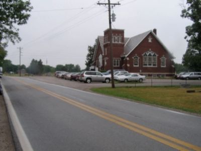
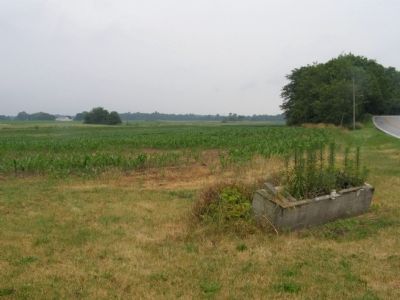
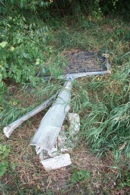
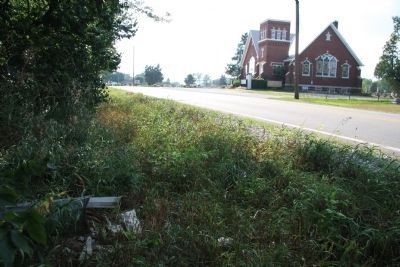
Location. Marker has been permanently removed. It was located near 41° 11.36′ N, 85° 17.24′ W. Marker was near Levert, Indiana, in Allen County. Marker was on Carroll Road near Madden Road. Touch for map. Marker was in this post office area: Churubusco IN 46723, United States of America.
We have been informed that this sign or monument is no longer there and will not be replaced. This page is an archival view of what was.
Other nearby markers. At least 8 other markers are within 4 miles of this location, measured as the crow flies. This Tribute ToÖ (about 600 feet away, measured in a direct line); Churubusco War Memorial (approx. 3.3 miles away); Churubusco Railroad Depot (approx. 3.3 miles away); Here's how Churubusco got its name (approx. 3.3 miles away); Little Turtle (approx. 3.3 miles away); DX Gas Station (approx. 3.4 miles away); Johnny Krieger 1935-2003 (approx. 3.4 miles away); The Brumbaugh Popcorn Stand (approx. 3.4 miles away).
More about this marker. After recently posting some pictures that I took of this historical marker, pictures that showed that the historical marker had been knocked down and flatted by some vehicle, I discovered that the Indiana Historical Bureau recently posted on their web site that, "This marker was damaged and removed. It will not be replaced due to text inaccuracies."
Also see . . .
1. Site of Hardin's Defeat. This is a link to information regarding this historical marker that is provided by the Indiana Historical Bureau. (Submitted on February 22, 2012, by Dale K. Benington of Toledo, Ohio.)
2. Site of Hardin's Defeat (Review). This is a link to information regarding a review that was made on this historical marker that is provided by the Indiana Historical Bureau. (Submitted on February 22, 2012, by Dale K. Benington of Toledo, Ohio.)
Credits. This page was last revised on September 12, 2023. It was originally submitted on June 26, 2007, by Christopher Light of Valparaiso, Indiana. This page has been viewed 8,815 times since then and 93 times this year. Last updated on September 7, 2023, by Craig Doda of Napoleon, Ohio. Photos: 1, 2, 3. submitted on June 26, 2007, by Christopher Light of Valparaiso, Indiana. 4, 5, 6. submitted on February 18, 2012, by Dale K. Benington of Toledo, Ohio. • Devry Becker Jones was the editor who published this page.
