South of Broad in Charleston in Charleston County, South Carolina — The American South (South Atlantic)
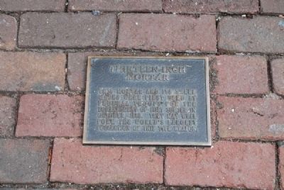
Thirteen - Inch Mortar
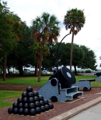
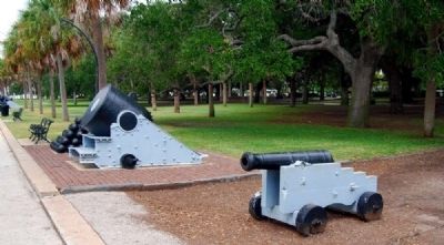
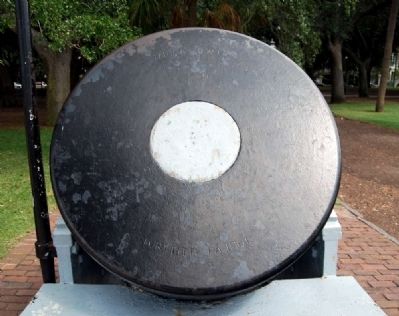
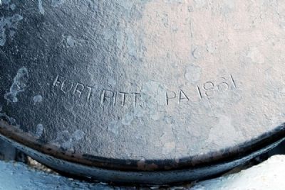
This mortar and its three mates were first used by Federal troops for the bombardment of Fort Sumter in October, 1863. They may well form the world's largest collection of this type weapon.
Topics. This historical marker is listed in this topic list: War, US Civil. A significant historical month for this entry is October 1863.
Location. 32° 46.15′ N, 79° 55.767′ W. Marker is in Charleston, South Carolina, in Charleston County. It is in South of Broad. Marker is on Murray Boulevard, on the left when traveling east. Marker is located on the south side of White Point Gardens (The Battery). Touch for map. Marker is in this post office area: Charleston SC 29401, United States of America. Touch for directions.
Other nearby markers. At least 10 other markers are within walking distance of this marker. Seven - Inch Banded Brooks Rifle (within shouting distance of this marker); a different marker also named Thirteen - Inch Mortar (within shouting distance of this marker); Confederate Defenders of Charleston (within shouting distance of this marker); a different marker also named Thirteen - Inch Mortar (within shouting distance of this marker); Charleston Waterfront (within shouting distance of this marker); William Gilmore Simms (within shouting distance of this marker); Ten - Inch Smooth Bore Columbaid Cannon (within shouting distance of this marker); Moultrie (within shouting distance of this marker); Thirteen Inch Mortar (about 300 feet away, measured in a direct line); Stede Bonnet / Richard Worley (about 300 feet away). Touch for a list and map of all markers in Charleston.
Also see . . . Fort Sumter > Union Siege of Fort Sumter. Union efforts to retake Charleston Harbor began on April 7, 1863, when Rear Admiral Samuel Francis Du Pont, commander of the South Atlantic Blockading Squadron, led the ironclad frigate New Ironsides, the tower ironclad Keokuk, and the monitors Weehawken, Passaic. Montauk, Patapsco, Nantucket, Catskill, and Nahant in an attack against the harbor’s defenses. (Submitted on September 22, 2011, by Brian Scott of Anderson, South Carolina.)
Credits. This page was last revised on February 16, 2023. It was originally submitted on September 22, 2011, by Brian Scott of Anderson, South Carolina. This page has been viewed 718 times since then and 13 times this year. Photos: 1, 2, 3, 4, 5. submitted on September 22, 2011, by Brian Scott of Anderson, South Carolina.
