Fort Lee in Bergen County, New Jersey — The American Northeast (Mid-Atlantic)
Preserving the Palisades
Photographed by Bill Coughlin, September 24, 2011
1. Preserving the Palisades Marker
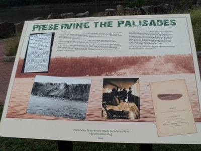
Through the 1890s, quarries blasted the Palisades for stone to make gravel and concrete. The largest of these, Carpenter Brothers’ quarry, was just south of here (background photograph and B). Many thousands of tons of broken rock were taken from this quarry.
Public outrage at this “desecration” of the landscape was captured in newspaper articles such as this one (A) from the New York Times in 1895.
In New Jersey, the fight to preserve the Palisades was led by the New Jersey State Federation of Women’s Clubs. In 1897, club women toured the quarries by boat (C), making a stop here at Carpenters’ quarry. Could a handful of women – a generation before suffrage – succeed in such an ambitious effort?
In 1900, New Jersey and New York, spurred by the women’s clubs and with the backing of several prominent individuals and families, including New York governor Theodore Roosevelt, formed an Interstate Park Commission whose purpose was to close down the quarries and preserve the Palisades. John Pierpont Morgan would donate the funds to close Carpenters’ quarry. The last blasting at this spot occurred on Christmas
this page online
The Palisades Interstate Park was formally dedicated in 1909 at Alpine Landing (D).
Erected 2008 by Palisades Interstate Park Commission.
Topics and series. This historical marker is listed in this topic list: Notable Events. In addition, it is included in the Former U.S. Presidents: #26 Theodore Roosevelt series list. A significant historical year for this entry is 1895.
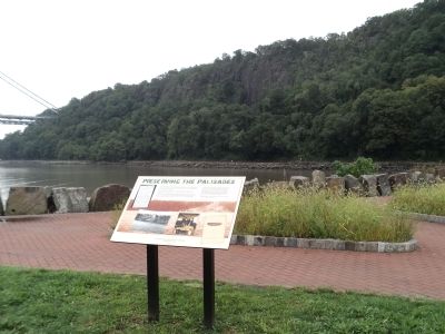
Location. 40° 51.587′ N, 73° 57.343′ W. Marker is in Fort Lee, New Jersey, in Bergen County. It can be reached from Ross Dock Approach Road. Marker is in the Palisades Interstate Park at the south end of the Ross Dock Picnic Area. Touch for map. Marker is in this post office area: Fort Lee NJ 07024, United States of America. Touch for directions.

Regionally, this marker is in North Jersey, in Greater Newark, and in the New York City Metropolitan Area. It is also in the American Northeast, in the Mid-Atlantic, and on the Eastern Seaboard. Globally, it is in the North Atlantic Region, North America, the Western Hemisphere, the Western World, and the Anglosphere. Historically, it finds itself in what was once New Netherland and also one of the
Photographed by Bill Coughlin, September 24, 2011
2. Preserving the Palisades Marker
Other nearby markers. At least 8 other markers are within walking distance of this marker: Protection of the Hudson River (approx. 0.6 miles away); Solax Studios (approx. 0.6 miles away); Fort Lee Historic Park (approx. 0.7 miles away); Palisades Interstate Park (approx. 0.7 miles away); Mortar Battery (approx. 0.8 miles away); Military Magazine (approx. 0.8 miles away); a different marker also named The Little Red Lighthouse (approx. 0.8 miles away in New York); a different marker also named The Little Red Lighthouse (approx. 0.8 miles away in New York). Touch for a list and map of all markers in Fort Lee.
Another marker is no longer nearby. The Little Red Lighthouse (was approx. 0.8 miles away in New York but has been replaced with another marker now near it).
Also see . . . Palisades Interstate Park website. (Submitted on September 24, 2011, by Bill Coughlin of Woodland Park, New Jersey.)
Photographed by Bill Coughlin, September 24, 2011
3. Preserving the Palisades Marker
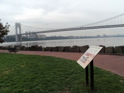
The marker is located in the shadow of the George Washington Bridge, seen in the background.
Photographed by Bill Coughlin, September 24, 2011
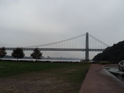
4. Marker at Ross Dock
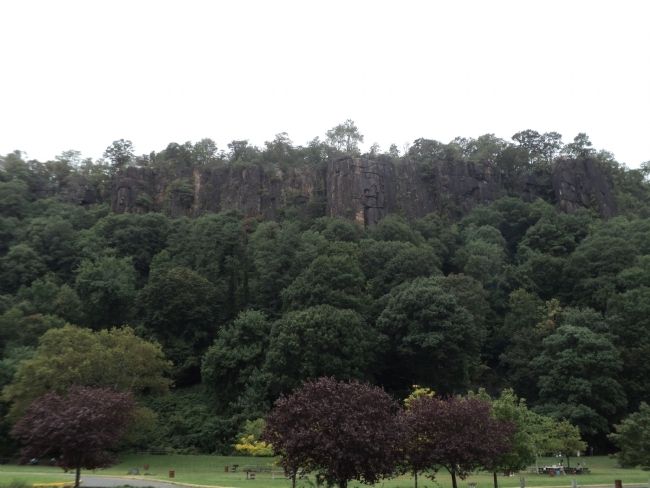
Photographed by Bill Coughlin, September 24, 2011
5. The New Jersey Palisades
The palisades can be seen here in this photo taken from near the marker.
Credits. This page was last revised on June 16, 2016. It was originally submitted on September 24, 2011, by Bill Coughlin of Woodland Park, New Jersey. This page has been viewed 1,030 times since then and 35 times this year. Photos: 1, 2, 3, 4, 5. submitted on September 24, 2011, by Bill Coughlin of Woodland Park, New Jersey.
