Ansonborough in Charleston in Charleston County, South Carolina — The American South (South Atlantic)
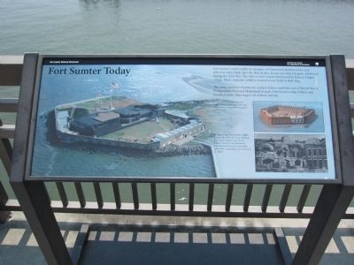
Fort Sumter Today
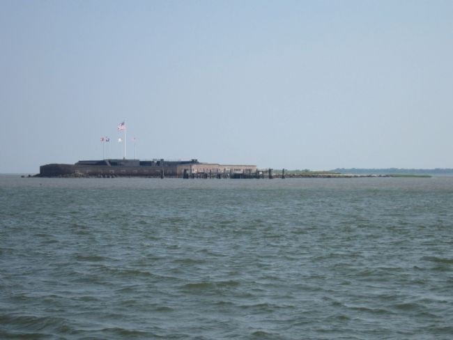
The army used Fort Sumter for coastal defense until the end of World War II. Designated a National Monument in 1948, Fort Sumter today reflects one hundred years (1830s-1940s) of military activity.
In 1861, newly built Fort Sumter (right) was an imposing, three-tier, brick fortress designed for 135 guns and 650 men.
By August 1863, Fort Sumter (right) showed the effect of Union shelling. During the longest siege in U.S. military history, Union batteries bombarded the fort for 20 months (1863-1865), pounding it into a mound of rubble.
Erected by Fort Sumter National Monument - National Park Service - US Department of the Interior.
Topics. This historical marker is listed in these topic lists: Forts and Castles • War, US Civil. A significant historical year for this entry is 1812.
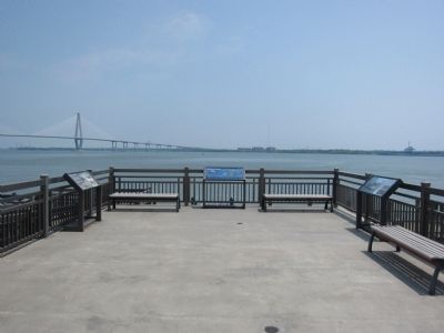
Location. 32° 47.439′ N, 79° 55.499′ W. Marker is in Charleston, South Carolina, in Charleston County. It is in Ansonborough. Marker can be reached from the intersection of Calhoun Street and Concord Street, on the right when traveling east. Located at the Fort Sumter tour boat wharf, adjacent to the South Carolina Aquarium. Touch for map. Marker is in this post office area: Charleston SC 29401, United States of America. Touch for directions.
Other nearby markers. At least 8 other markers are within walking distance of this marker. Port of Charleston (here, next to this marker); Fort Sumter Bricks (within shouting distance of this marker); Septima Poinsette Clark 1898-1987 (about 300 feet away, measured in a direct line); Septima Poinsette Clark (about 300 feet away); Gadsden's Wharf (about 500 feet away); Philip Simmons (about 500 feet away); The Borough Houses (approx. ¼ mile away); a different marker also named The Borough Houses (approx. ¼ mile away). Touch for a list and map of all markers in Charleston.
Credits. This page was last revised on February 16, 2023. It was originally submitted on September 25, 2011, by Craig Swain of Leesburg, Virginia. This page has been viewed 777 times since then and 21 times this year. Photos: 1, 2, 3, 4. submitted on September 25, 2011, by Craig Swain of Leesburg, Virginia.


