Oakland City in Gibson County, Indiana — The American Midwest (Great Lakes)
James Washington Cockrum
Inscription.
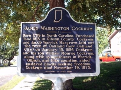
Side 'One'
Born 1799 in North Carolina. Purchased land 1818 in Gibson County. Cockrum and Jacob Warrick Hargrove laid out the town of Oakland (now Oakland City) on January 15, 1856. Cockrum and his son William Monroe Cockrum, along with sympathizers in Warrick, Gibson, and Pike counties, aided enslaved blacks seeking freedom. Cockrum died November 19, 1875.
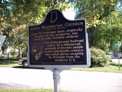
Side 'Two'
James W. Cockrum's barn, originally located on this property, was used to hide freedom seekers. The Underground Railroad refers to a widespread network of diverse people in the nineteenth century who aided slaves escaping to freedom from the southern U.S.
Erected 2005 by Indiana Historical Bureau, City of Oakland City, Oakland City University, Division of Historic Preservation & Archaeology, IDNR. (Marker Number 26.2005.1.)
Topics and series. This historical marker is listed in these topic lists: Abolition & Underground RR • Settlements & Settlers. In addition, it is included in the Indiana Historical Bureau Markers series list. A significant historical month for this entry is January 1832.
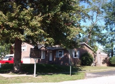
Location. 38° 20.268′ N, 87° 20.981′ W. Marker is in Oakland City, Indiana, in Gibson County. Marker is at the intersection of South Clay Street and West Oak Street, on the left when traveling north on South Clay Street. Touch for map. Marker is at or near this postal address: 411 West Oak Street, Oakland City IN 47660, United States of America. Touch for directions.
Other nearby markers. At least 8 other markers are within 12 miles of this marker, measured as the crow flies. Wabash and Erie Canal Completed 1853 (approx. 3.1 miles away); Morton Cemetery (approx. 5.6 miles away); Wabash & Erie Canal (approx. 6.3 miles away); Wabash and Erie Canal (approx. 11 miles away); June 2, 1990 Tornado Memorial (approx. 11.3 miles away); Revolutionary War Memorial (approx. 11.3 miles away); Pike County War Memorial (approx. 11.3 miles away); Gilbert Ray Hodges (approx. 11.3 miles away).
Credits. This page was last revised on June 16, 2016. It was originally submitted on October 3, 2011, by Al Wolf of Veedersburg, Indiana. This page has been viewed 892 times since then and 29 times this year. Photos: 1, 2, 3. submitted on October 3, 2011, by Al Wolf of Veedersburg, Indiana. • Bill Pfingsten was the editor who published this page.


